Near Solomons in Calvert County, Maryland — The American Northeast (Mid-Atlantic)
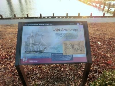
Apt Anchorage
Star-Spangled Banner National Historic Trail
| — | National Park Service, U.S. Department of the Interior | — |
Photographed by Don Morfe, February 10, 2015
1. Apt Anchorage Marker
The point to the north protruding into the river is appropriately called “Point Patience” as it was difficult to maneuver around in the era of sail. The south side of the point provided good anchorage, visibility, protection from other ships, and nearby fresh water. On June 26, 1814, British frigate Loire, damaged during the Second Battle of St. Leonard Creek, withdrew here for repairs.
“Point Patience…is the place of general rendezvous for the enemy’s fleet…”
-Baltimore Federal Republican, July 16, 1814.
Local Opposition
The British raided Point Patience on June 26, 1814, destroying the home of Dr. William D. Somervell. Similar actions up and down the river caused many inhabitants to oppose the war. Some prohibited American forces from stationing at their farms, knowing the militia could not provide security.
Erected by National Park Service, U.S. Department of the Interior.
Topics and series. This historical marker is listed in this topic list: War of 1812. In addition, it is included in the Star-Spangled Banner National Historic Trail series list. A significant historical date for this entry is June 26, 1814.
Location. 38° 19.763′ N,
this page online

Regionally, this marker is in Southern Maryland. It is also in the American South, specifically in the Upper South, in the Mid-Atlantic, in the Tidewater, in the Chesapeake Bay Region, and on the Eastern Seaboard. Globally, it is in the North Atlantic Region, North America, the Western Hemisphere, the Western World, and the Anglosphere. Historically, it finds itself in what was once one of the original Thirteen Colonies and also the Antebellum South.
Other nearby markers. At least 8 other markers are within walking distance of this marker: Calvert County (approx. 0.2 miles away); Perils along the Patuxent (approx. 0.2 miles away);
Photographed by Don Morfe, February 10, 2015
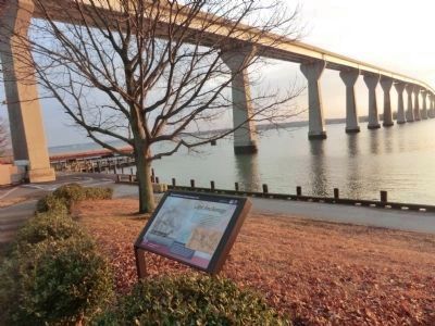
2. Apt Anchorage Marker under Solomons Island Bridge (SR 4)
Other markers no longer nearby. Anchor (was approx. 0.2 miles away but has been permanently removed); a different marker also named Anchor (was approx. ¼ mile away but has been permanently removed); a different marker also named The Ark of Hungerford Creek (was approx. ¼ mile away but has been replaced with another marker now near it).
Photographed by Don Morfe, February 10, 2015
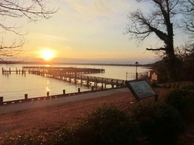
3. Apt Anchorage Marker-Sunset over the Patuxent River
Photographed by Don Morfe, February 10, 2015
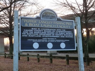
4. Sign at the entrance to the fishing pier and boat launch
Credits. This page was last revised on November 2, 2025. It was originally submitted on February 27, 2015, by Don Morfe of Baltimore, Maryland. This page has been viewed 684 times since then and 29 times this year. Photos: 1, 2, 3, 4. submitted on February 27, 2015, by Don Morfe of Baltimore, Maryland. • Bill Pfingsten was the editor who published this page.
