No Match for British Might
Star-Spangled Banner National Historic Trail
| — | War of 1812 | — |
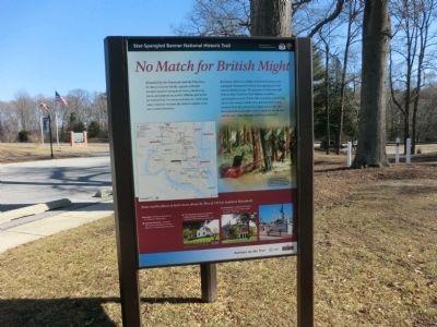
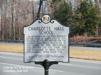
Residents relied on a militia of ill-trained and poorly equipped volunteers for protection against powerful veteran British troops. The grounds of Charlotte Hall School (later Charlotte Hall Military Academy), operating here from 1774 to 1976, served as a mustering site for the county’s militia. It is said that even young students from the school were called out to help. But the makeshift local militia was no match for the British, and the year-long campaign of terror continued.
(Inscription under the image on the right)
The United States had only a small professional army, so towns throughout the Chesapeake relied on citizen soldiers for defense. They often faced overwhelming odds.
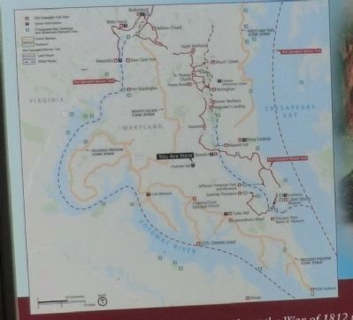
Some nearby places to learn more about the War of 1812 in Southern Maryland:
*Benedict-British landing site for the
this page online
*Sotterley Plantation-Restored 18th-century plantation and slave quarter, a mustering site for militia
*”The Old White House” on Veterans Home grounds, Charlotte Hall-Residence and school during the war
*Leonardtown-Raided and occupied by the British; War of 1812 exhibits at historic Tudor Hall.
Erected by National Park Service-United States Department of the Interior.
Topics and series. This historical marker is listed in this topic list: War of 1812. In addition, it is included in the Star-Spangled Banner National Historic Trail series list. A significant historical year for this entry is 1774.
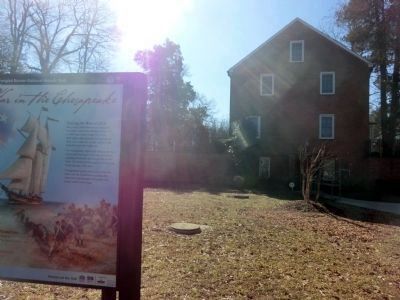
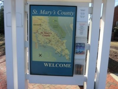
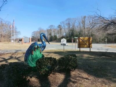
Location. 38° 28.701′ N, 76° 46.58′ W. Marker is in Charlotte Hall, Maryland, in St. Mary's County. It is on Charlotte Hall School Road. The marker is located on the grounds of St. Mary's County Welcome Center. Touch for map. Marker is in this post office area: Charlotte Hall MD 20622, United States of America. Touch for directions.
Regionally, this marker is in Southern Maryland. It is also in the American South, specifically in the Upper South, in the Mid-Atlantic, in the Tidewater, in the Chesapeake
Other nearby markers. At least 8 other markers are within walking distance of this marker: Maryland Begins Here (within shouting distance of this marker); Charlotte Hall School (within shouting distance of this marker); Coole Springs of Saint Marie’s (about 400 feet away, measured in a direct line); a different marker also named Charlotte Hall School (about 500 feet away); Cadet Pierre A. Mourthé (about 500 feet away); Ye Coole Springs (about 500 feet away); Village of Charlotte Hall (approx. ¼ mile away); Amish Community (approx. 0.3 miles away). Touch for a list and map of all markers in Charlotte Hall.
Another marker is no longer nearby. Rear Admiral Raphael Semmes C.S.N. (was about 400 feet away but has been permanently removed).
Credits. This page was last revised on June 16, 2016. It was originally submitted on March 2, 2015, by Don Morfe of Baltimore, Maryland. This page has been viewed 681 times since then and 29 times this year. Photos: 1, 2, 3, 4, 5, 6, 7, 8. submitted on March 2, 2015, by Don Morfe of Baltimore, Maryland. • Bill Pfingsten was the editor who published this page.
