Near Agra in San Diego County, California — The American West (Pacific Coastal)
Las Flores Asistencia
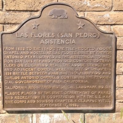
Photographed by Kevin W., March 7, 2015
1. Las Flores Asistencia Marker
California Registered Historical Landmark No. 616
Plaque placed by the State Department of Parks and Recreation in cooperation with the U.S. Marine Corps and Squibob Chapter, E Clampus Vitus, September 17, 1983
Erected 1983 by State Department of Parks and Recreation, the U.S. Marine Corps and Squibob Chapter, E Clampus Vitus. (Marker Number 616.)
Topics and series. This historical marker is listed in these topic lists: Exploration • Religion & Religious Structures. In addition, it is included in the California Historical Landmarks, the E Clampus Vitus, and the El Camino Real, “The King's Highway” (California) series lists. A significant historical month for this entry is April 1838.
Location. 33° 17.994′ N, 117° 27.636′ W.
this page online

Regionally, this marker is in the Peninsular Ranges. It is also in the American Borderlands and on the Pacific Coast. Globally, it is in North America, on the Ring of Fire, on the Pacific Rim, in the Western Hemisphere, in the Western World, and in the Anglosphere. Historically, it finds itself in what was once New Spain and also Mexico’s Alta California.
Other nearby markers. At least 8 other markers are within 7 miles of this marker, measured as the crow flies: Las Flores Adobe (approx. ¼ mile away); Las Flores View Point (approx. 1.6 miles away); Missions (approx. 2.1 miles away); Missions in Baja California (approx. 2.2 miles away); El Camino Real Guidepost Bells (approx. 2.6 miles away); El Camino Real Bell (approx. 6 miles away); Retreat Hell! (approx.
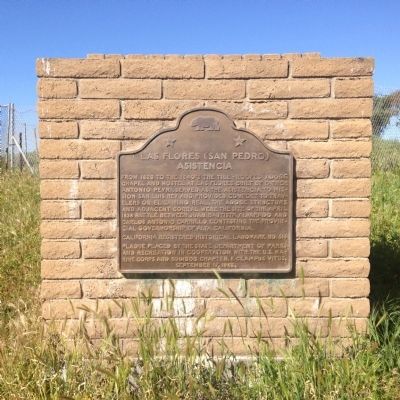
Photographed by Kevin W., March 7, 2015
2. Las Flores Asistencia Marker
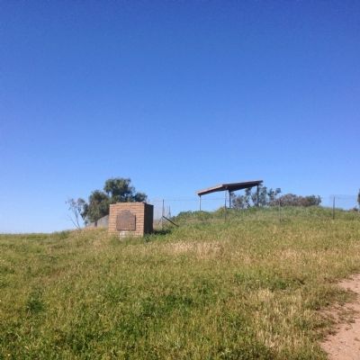
Photographed by Kevin W., March 7, 2015
3. Las Flores Asistencia Marker
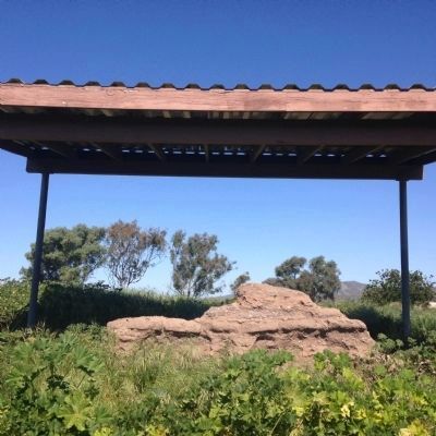
Photographed by Kevin W., March 7, 2015
4. The remains of Las Flores Asistencia
Credits. This page was last revised on November 17, 2020. It was originally submitted on March 9, 2015, by Kevin W. of Stafford, Virginia. This page has been viewed 978 times since then and 70 times this year. Photos: 1, 2, 3, 4. submitted on March 9, 2015, by Kevin W. of Stafford, Virginia.
