Linthicum Heights in Anne Arundel County, Maryland — The American Northeast (Mid-Atlantic)
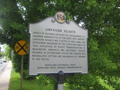
Linthicum Heights
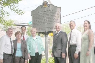
Erected 2008 by Maryland Historical Trust, Maryland State Highway Administration.
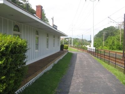
Topics and series. This historical marker is listed in these topic lists: Railroads & Streetcars • Settlements & Settlers. In addition, it is included in the Maryland Historical Trust series list. A significant historical year for this entry is 1908.
Location. 39° 12.322′ N, 76° 39.191′ W. Marker is in Linthicum Heights, Maryland, in Anne Arundel County. Marker is at the intersection of Camp Meade Road (Maryland Route 170) and Maple Road, on the right when traveling south on Camp Meade Road. Marker is in the northwest corner of the intersection. Touch for map. Marker is at or near this postal address: 100 W Maple Rd, Linthicum Heights MD 21090, United States of America. Touch for directions.
Other nearby markers. At least 8 other markers are within 2 miles of this marker, measured as the crow flies. In Honor of Those Who Served (within shouting distance of this marker); Benson-Hammond House (about 600 feet away, measured in a direct line); Holly Run Church (approx. ¼ mile away); The Heart Spoke (approx. 0.3 miles away); The Freedom Tree (approx. half a mile away); Donald Emerson Shay, Jr. (approx. half a mile away); Pumphrey Elementary School (approx. 1.2 miles away); Pumphrey (approx. 1.3 miles away). Touch for a list and map of all markers in Linthicum Heights.
Credits. This page was last revised on March 21, 2020. It was originally submitted on June 4, 2008, by F. Robby of Baltimore, Maryland. This page has been viewed 1,513 times since then and 55 times this year. Photos: 1. submitted on June 4, 2008, by F. Robby of Baltimore, Maryland. 2. submitted on September 21, 2008. 3. submitted on June 4, 2008, by F. Robby of Baltimore, Maryland. 4. submitted on September 21, 2008.


