Santa Clara in Santa Clara County, California — The American West (Pacific Coastal)
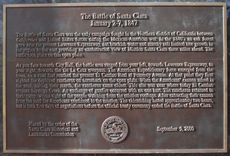
The Battle of Santa Clara
January 2-7, 1847
Photographed by Joseph Alvarado, April 5, 2023
1. The Battle of Santa Clara Marker
As you face towards City Hall, the battle area ranged from your left, towards Lawrence Expressway, to your right, towards the De La Cruz overpass. The American Expeditionary force emerged from the trees, on a road that reached the present El Camino Real at Pomeroy Avenue. At that point they first sighted the deployed rancheros on horseback on the open plain. When the Americans’ cannon mired in the mud, halting their march, the rancheros came closer. This site was near where today El Camino crosses Saratoga Creek. An exchange of gunfire occurred with no one hurt. The rancheros returned to their camp, within sight of the people watching from the mission rooftops. After extracting their cannon
this page online
Erected 2000 by Santa Clara Historical and Landmarks Commission.
Topics. This historical marker is listed in this topic list: War, Mexican-American.
Location. 37° 21.128′ N, 121° 57.249′ W. Marker is in Santa Clara, California, in Santa Clara County. It is on El Camino Real near Lincoln Street, on the right when traveling south. Marker is located at the Geoffrey C. "Geof" Goodfellow Sesquicentennial Park. Touch for map. Marker is in this post office area: Santa Clara CA 95050, United States of America. Touch for directions.

Regionally, this marker is in California’s San Francisco Bay Area, in Silicon Valley, and on the Coast Ranges. It is also on the American Pacific Coast. Globally, it is in North America, on the Ring of Fire, in the Pacific Rim, in the Western Hemisphere, in the Western World, and in the Anglosphere. Historically, it finds itself in what
Photographed by Syd Whittle, November 5, 2009
2. The Battle of Santa Clara Marker
Other nearby markers. At least 8 other markers are within walking distance of this marker: Armistice Oak Tree Site (here, next to this marker); Santa Clara Campaign Treaty Site (within shouting distance of this marker); De Anza Expedition 1775 – 1776 (within shouting distance of this marker); Saint Clare (within shouting distance of this marker); Morgan House (about 600 feet away, measured in a direct line); John Fatjo House (approx. 0.2 miles away); “Cowboy Jim” Donovan (approx. 0.3 miles away); Carmelite Monastery – Bond Ranch (approx. 0.3 miles away). Touch for a list and map of all markers in Santa Clara.
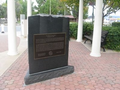
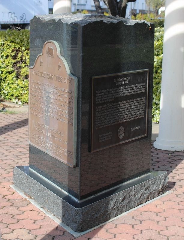
More about this marker. This marker base is a three sided-triangular base. On the front is mounted the nearby marker "Armistice Oak Tree Site", on the left is the Armistice Oak Tree Site Rededication Plaque and this marker is mounted on the right side.
Photographed by Syd Whittle, November 5, 2009
3. The Battle of Santa Clara Marker
Photographed by Joseph Alvarado, April 5, 2023
4. The Battle of Santa Clara Marker
Credits. This page was last revised on April 16, 2023. It was originally submitted on November 10, 2009, by Syd Whittle of Mesa, Arizona. This page has been viewed 6,031 times since then and 358 times this year. Last updated on March 19, 2015, by J. Makali Bruton of Washington, District of Columbia. Photos: 1. submitted on April 16, 2023, by Joseph Alvarado of Livermore, California. 2, 3. submitted on November 10, 2009, by Syd Whittle of Mesa, Arizona. 4. submitted on April 16, 2023, by Joseph Alvarado of Livermore, California. • Bill Pfingsten was the editor who published this page.
