West Liberty in Logan County, Ohio — The American Midwest (Great Lakes)
Michael Lane Partin
Tribute to a Long Time Worker
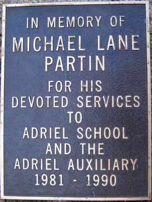
Inscription.
Michael Lane Partin
for his
devoted services
to
Adriel School
and the
Adriel Auxiliary
1981- 1990
Topics. This historical marker is listed in this topic list: Charity & Public Work.
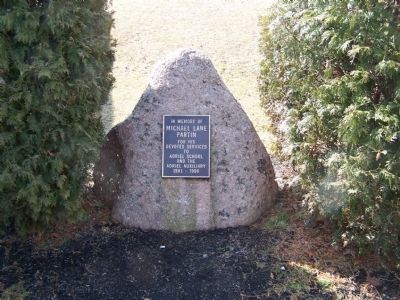
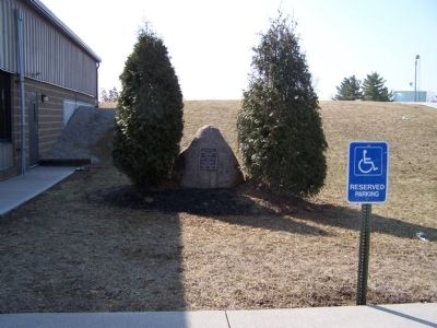
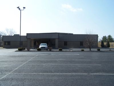
Location. 40° 15.481′ N, 83° 45.482′ W. Marker is in West Liberty, Ohio, in Logan County. Marker can be reached from North Detroit Street (County Route 189). marker is on the grounds of the Adriel School, at the “top of the hill” parking lot of the John L. Yoder Activity Center. Touch for map. Marker is at or near this postal address: 500 N Detroit St, West Liberty OH 43357, United States of America. Touch for directions.
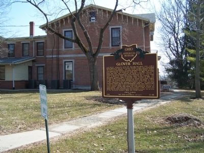
Other nearby markers. At least 8 other markers are within walking distance of this marker. West Liberty Veterans Memorial (about 500 feet away, measured in a direct line); West Liberty / Glover Hall (about 800 feet away); West Liberty World War I Memorial (approx. 0.2 miles away); Shawnee Nation in Logan County / Shawnee Villages in Logan County (approx. 0.2 miles away); Foust Addition (approx. ¼ mile away); Hull's Trace / Moluntha (approx. 0.3 miles away); Sherman M. Ricketts (approx. 0.3 miles away); West Liberty Lion's Club Park (approx. 0.6 miles away). Touch for a list and map of all markers in West Liberty.
Credits. This page was last revised on June 16, 2016. It was originally submitted on March 22, 2015, by Rev. Ronald Irick of West Liberty, Ohio. This page has been viewed 401 times since then and 10 times this year. Photos: 1, 2, 3, 4, 5. submitted on March 22, 2015, by Rev. Ronald Irick of West Liberty, Ohio. • Al Wolf was the editor who published this page.
