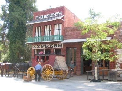
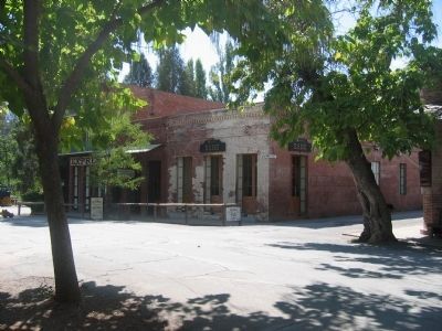
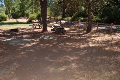
Columbia in Tuolumne County, California — The American West (Pacific Coastal)
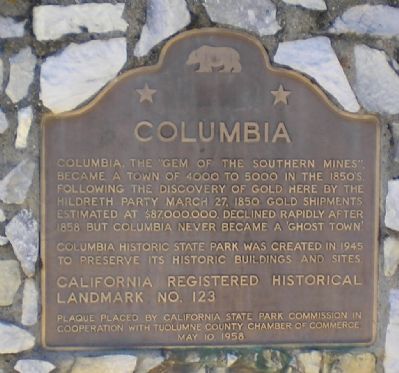
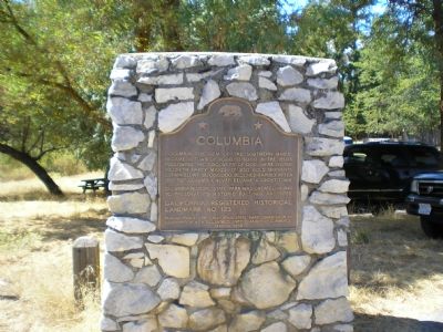
Columbia
Erected 1958 by California State Parks Commission, Tuolumne County Chamber of Commerce. (Marker Number 123.)
Topics and series. This historical marker is listed in this topic list: Settlements & Settlers. In addition, it is included in the California Historical Landmarks, and the National Historic Landmarks series lists. A significant historical date for this entry is March 27, 1846.
Location. 38° 1.962′ N, 120° 24.234′ W. Marker is in Columbia, California, in Tuolumne County. Marker is at the intersection of Broadway St. and Church Street, on the left when traveling north on Broadway St.. Touch for map. Marker is in this post office area: Columbia CA 95310, United States of America. Touch for directions.
Other nearby markers. At least 8 other markers are within walking distance of this marker. Hon. Jesse M. Mayo (about 600 feet away, measured in a direct line); Columbia Masonic Temple (about 800 feet away); Eagle Cotage (about 800 feet away); Site of Donnell & Parsons Building (approx. 0.2 miles away); Hildreth Party (approx. 0.2 miles away); Scraping the Rocks Clean (approx. 0.2 miles away); A Home for Immigrants (approx. ¼ mile away); Wilson/McConnell House (approx. ¼ mile away). Touch for a list and map of all markers in Columbia.
Photographed By Barry Swackhamer
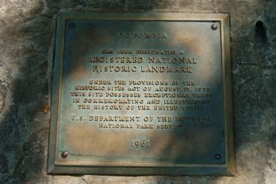
7. Columbia National Registered Historic Site Plaque
Has been designated a
Registered National
Historical Landmark
Under the provisions of the Historic Sites Act of August, 21, 1935
This site possesses exceptional value in commemorating and illustrating the history of the United States
National Park Service
1961
Credits. This page was last revised on June 16, 2016. It was originally submitted on September 13, 2007, by Mathew H. Kohnen of San Jose, California. This page has been viewed 1,833 times since then and 21 times this year. Last updated on March 24, 2015, by J. Makali Bruton of Accra, Ghana. Photos: 1, 2. submitted on September 13, 2007, by Mathew H. Kohnen of San Jose, California. 3, 4, 5, 6. submitted on October 25, 2008, by Syd Whittle of Mesa, Arizona. 7, 8. submitted on August 27, 2012, by Barry Swackhamer of Brentwood, California. • Syd Whittle was the editor who published this page.
