Near Saint-Paul-de-l'Île-aux-Noix in Le Haut-Richelieu, Québec — Central Canada (French-Canadian)
Fort Lennox
Le Fort Lennox
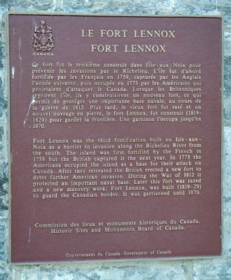
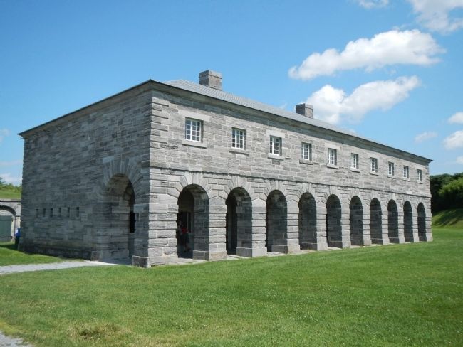
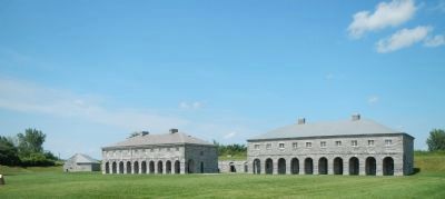
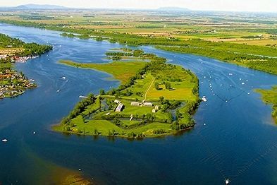
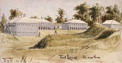
Fort Lennox was the third fortification built on Isle-aux-Noix as a barrier to invasion along the Richelieu River from the south. The island was first fortified by the French in 1759 but the British captured it the next year. In 1775 the Americans occupied the island as a base for their attack on Canada. After they retreated the British erected a new fort to deter further American invasion. During the War of 1812 it protected an important naval base. Later this fort was razed and a new masonry work, Fort Lennox, was built (1819-29) to guard the Canadian border. It was garrisoned until 1870.
French:
Ce fort fut le troisième construit dans l'île-aux-Noix pour prévenir les invasions par le Richelieu. L'île fut d'abord fortifiée par les Français en 1759, capturée par les Anglais l'année suivante, puis occupée en 1775 par les Américains qui projetaient d'attaquer le Canada. Lorsque les Britanniques reprirent l'île, ils y construisirent un nouveau fort, ce qui permit de protéger une importante base navale, au cours de la guerre de 1812. Plus tard, le vieux fort fut rasé et un nouvel ouvrage en pierre, le fort Lennox, fut construit (1819-1829) pour garder la frontière. Une garnison l'occupa jusqu'en 1870.
Erected by Historic Sites and Monument Board of Canada/Commission de lieux et monuments historique du Canada.
Topics and series. This historical marker is listed in these topic lists: Forts and Castles • War of 1812 • War, US Revolutionary. In addition, it is included in the Canada, Historic Sites and Monuments Board series list. A significant historical year for this entry is 1759.
Location. 45° 7.291′ N, 73° 16.03′ W. Marker is near Saint-Paul-de-l'Île-aux-Noix, Québec, in Le Haut-Richelieu. Marker is on 61st Avenue close to Rue Principale (Québec Route 223). Touch for map. Marker is at or near this postal address: 1 61st Avenue, Saint-Paul-de-l'Île-aux-Noix QC J0J 1G0, Canada. Touch for directions.
Other nearby markers. At least 8 other markers are within 13 kilometers of this marker, measured as the crow flies. The Royal Navy (about 180 meters away, measured in a direct line); Chantier Naval de Île-aux-Noix (approx. 0.6 kilometers away); Caldwell Manor (approx. 6.9 kilometers away); Blockhaus de la Rivière-Lacolle (approx. 8.3 kilometers away); a different marker also named Blockhaus de la Rivière-Lacolle (approx. 8.3 kilometers away); Bataille du Moulin de Lacolle / Battle of the Lacolle Mill (approx. 8.5 kilometers away); Louis Cyr (approx. 10.3 kilometers away); La Bataille d’Odelltown / Battle of Odelltown (approx. 12.9 kilometers away). Touch for a list and map of all markers in Saint-Paul-de-l'Île-aux-Noix.
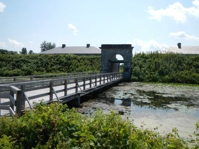
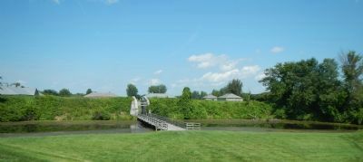
More about this marker. This marker is located at the entrance to Fort Lennox. The fort is on l'Île-aux-Noix in the middle of the Richelieu River. Access to the island is by ferry from the above address.
Also see . . . Fort Lennox, Third Fortification on Isle aux noix - Parks Canada. The War of 1812 resulted in a re-evaluation of the strategic role to be played by île aux Noix. The new road between Missisquoi Bay and Saint-Jean reduced the importance of the island for the region's defence. Nevertheless, the colonial leaders decided to erect a major fortification in reaction to a Fort, which the Americans had begun building at Rouses Point, less than 15 km south of the island. (Submitted on March 30, 2015, by Barry Swackhamer of Brentwood, California.)
Credits. This page was last revised on June 16, 2016. It was originally submitted on March 30, 2015, by Barry Swackhamer of Brentwood, California. This page has been viewed 355 times since then and 16 times this year. Photos: 1, 2, 3, 4, 5, 6, 7. submitted on March 30, 2015, by Barry Swackhamer of Brentwood, California. • Andrew Ruppenstein was the editor who published this page.
