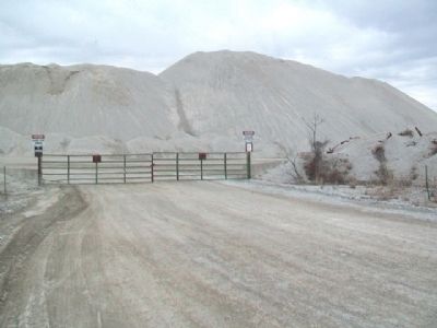
Treece in Cherokee County, Kansas — The American Midwest (Upper Plains)
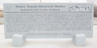
Treece, Kansas Historical Marker
Dedicated to the Former Residents
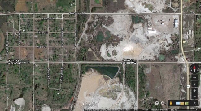
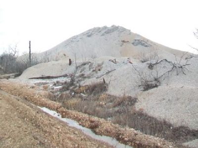
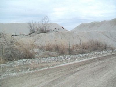
The City of Treece, located ˝ mile west of Hwy. 69 was founded on February 26, 1918 as a result of mining operations in the early 20th century. During prime mining industry production; Treece, neighboring Picher, Oklahoma and several other small nearby towns combined has a population of over 20,000. In the 1920s this region commonly known as the Tri-State Mining District was the world's largest producer of zinc and lead, supplying ore for ammunition used during World Wars I and II. Ore production declined rapidly in the 1960s as did the city's population. Treece was within the Cherokee County, Kansas OU-4 Treece Superfund Site and adjacent to the Oklahoma OU-4 Tar Creek Superfund Site, which were established due to contamination from historic mining activities.
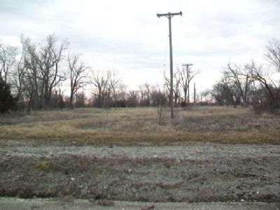
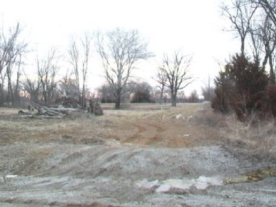
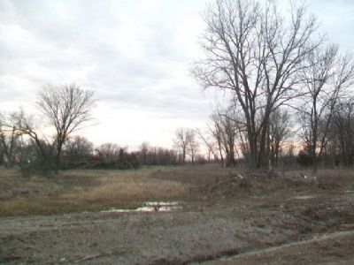
In 2010, thanks to the persistent efforts of local citizens, city officials and state/federal legislators, residents of Treece were offered voluntary relocation assistance from the Treece Relocation Assistance Trust, a state public trust funded by the United States Environmental Protection Agency and Kansas Department of Health & Environment. The buyout was offered to remove residents from the risk of sink holes caused by subsidence of underground mines and exposure to regional contamination from waste remaining from past mining operations. The buildings and streets were removed in 2012 and restrictions placed on the deeds to prevent the properties from being occupied in the future. Treece was officially dissolved as a city on May 9, 2012 and will forever live on in the hearts of its former residents.
Erected by the Treece Relocation Assistance Trust, Gene Bicknell, Betty McBride, Jim Dahmen, John Delmont Jr., & Eddie Hamilton.
Topics. This historical marker is listed in these topic lists: Disasters • Industry & Commerce • Settlements & Settlers. A significant historical date for this entry is February 26, 1918.
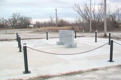
Location. 36° 59.936′ N, 94° 49.886′ W. Marker is in Treece, Kansas, in Cherokee County. Marker is on U.S. 69, on the left when traveling north. Touch for map. Marker is in this post office area: Treece KS 66778, United States of America. Touch for directions.
Other nearby markers. At least 8 other markers are within 6 miles of this marker, measured as the crow flies. Route 66 Stone (approx. 3.9 miles away in Oklahoma); Civil War Tour (approx. 4.1 miles away); Baxter Springs Soldiers' Lot (approx. 4.1 miles away); Baxter Springs Civil War Memorial (approx. 4.1 miles away); Entering Indian Territory (approx. 5 miles away in Oklahoma); Boyhood Home of Mickey Mantle (approx. 5.3 miles away in Oklahoma); Veterans Memorial (approx. 5˝ miles away); American Legion Post 206 Veterans Memorial (approx. 5˝ miles away).
Also see . . .
1. Treece, Kansas. Wikipedia entry. (Submitted on December 2, 2020, by Larry Gertner of New York, New York.)
2. Treece, Kansas, Picher's Neighbor on the North. "Ottawa County, Oklahoma" website has several pages of town photographs. (Submitted on December 2, 2020, by Larry Gertner of New York, New York.)
3. "Young Men are Dying," Frances Perkins' Visit to Joplin. Historic Joplin website entry:
Article includes mention of Treece KS (Submitted on March 31, 2015, by William Fischer, Jr. of Scranton, Pennsylvania.)
4. Mining Town Minerals. Kansapedia website entry (Submitted on March 31, 2015, by William Fischer, Jr. of Scranton, Pennsylvania.)
Credits. This page was last revised on March 18, 2022. It was originally submitted on March 31, 2015, by William Fischer, Jr. of Scranton, Pennsylvania. This page has been viewed 738 times since then and 93 times this year. Photos: 1, 2, 3, 4, 5, 6, 7, 8, 9. submitted on April 5, 2015, by William Fischer, Jr. of Scranton, Pennsylvania.
