Doune in Stirling, Scotland, United Kingdom — Northwestern Europe (the British Isles)
The Holy Grail
April 1, 2015
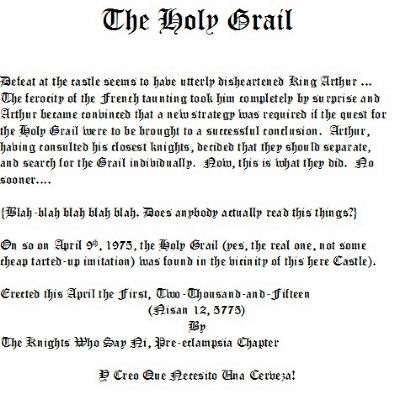
1. The Holy Grail Marker
Defeat at the castle seems to have utterly disheartened King Arthur … The ferocity of the French taunting took him completely by surprise and Arthur became convinced that a new strategy was required if the quest for the Holy Grail were to be brought to a successful conclusion. Arthur, having consulted his closest knights, decided that they should separate, and search for the Grail individually. Now, this is what they did. No sooner....
{Blah-blah blah blah blah. Does anybody actually read these things?}
On so on April 9th, 1975, the Holy Grail (yes, the real one, not some cheap tarted-up imitation) was found in the vicinity of this here Castle.
(Nisan 12, 5775)
By
The Knights Who Say Ni, Pre-eclampsia Chapter
Y Creo Que Necesito Una Cerveza!
Erected by The Knights Who Say Ni, Pre-eclampsia Chapter.
Topics. This historical marker is listed in these topic lists: Arts, Letters, Music • Entertainment • Forts and Castles • Religion & Religious Structures. A significant historical month for this entry is April 1820.
Location. 56° 11.106′ N, 4° 3.016′ W.
this page online

Regionally, this marker is in Stirling & The Trossachs. Globally, it is on the Atlantic Ocean, in the North Atlantic Region, in Europe, on the Celtic Fringe, in Atlantic Europe, on one of the British Isles, in the Western World, and in the Anglosphere.
Other nearby markers. At least 8 other markers are within 24 kilometers of this marker, measured as the crow flies: Fit For A King (a few steps from this marker); The Battle of Stirling Bridge (approx. 9.5 kilometers away); National Wallace Monument (approx. 9.7 kilometers away); Battle of Bannockburn (approx. 12.4 kilometers away); Antonine Wall Rough Castle (approx. 23.8 kilometers away); The Antonine Wall (approx. 24 kilometers away); The Northern Defences (approx. 24 kilometers away); a different marker also named The Antonine Wall (approx. 24 kilometers away).
April 1, 2015
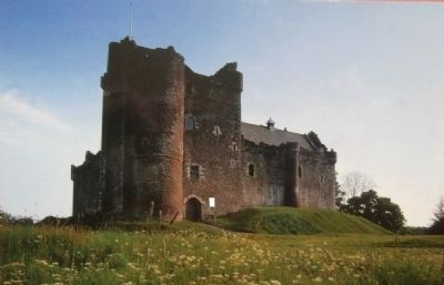
2. The Holy Grail Marker - Wide View
The marker is visible here just to the right of the castle entrance. Caution: beware of foul-smelling winds in the vicinity.
April 1, 2015
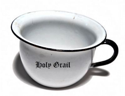
3. The Holy Grail
In case there were any doubts that this is the real one, well, here's the proof.
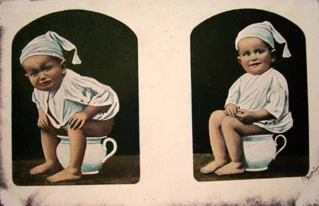
4. The Holy Grail in Use
Credits. This page was last revised on October 23, 2025. It was originally submitted on April 1, 2015. This page has been viewed 594 times since then and 20 times this year. Photos: 1, 2, 3, 4. submitted on April 1, 2015.
