Palm Springs in Riverside County, California — The American West (Pacific Coastal)
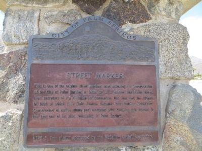
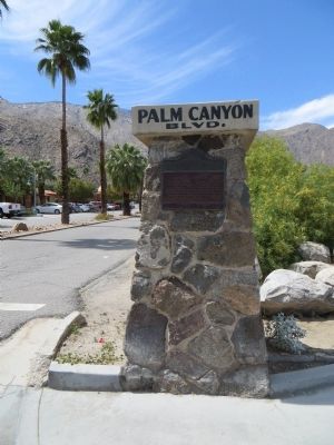
Palm Canyon Blvd Street Marker
Erected by City of Palm Springs, and the McCallum Desert Foundation. (Marker Number HSPB-8.)
Topics. This historical marker is listed in this topic list: Roads & Vehicles. A significant historical year for this entry is 1938.
Location. 33° 49.869′ N, 116° 32.859′ W. Marker is in Palm Springs, California, in Riverside County. Marker is at the intersection of North Palm Canyon Drive and West Chino Drive, on the right when traveling south on North Palm Canyon Drive. Touch for map. Marker is in this post office area: Palm Springs CA 92262, United States of America. Touch for directions.
Other nearby markers. At least 8 other markers are within walking distance of this marker. Frances S. Stevens School (about 300 feet away, measured in a direct line); Dr. Smith / Dr. Peppers Office (about 500 feet away); Owen Coffman Post #519 Palm Springs American Legion (approx. 0.2 miles away); Jewish War Veterans Memorial (approx. 0.2 miles away); General Telephone Building (approx. ¼ mile away); The Cork'n Bottle Building (approx. ¼ mile away); The O'Donnell Golf Course (approx. 0.3 miles away); Site of First Community Church (approx. 0.4 miles away). Touch for a list and map of all markers in Palm Springs.
Credits. This page was last revised on October 30, 2022. It was originally submitted on April 4, 2015, by Bill Kirchner of Tucson, Arizona. This page has been viewed 468 times since then and 18 times this year. Photos: 1, 2. submitted on April 4, 2015, by Bill Kirchner of Tucson, Arizona. • Andrew Ruppenstein was the editor who published this page.

