Knoxville in Knox County, Tennessee — The American South (East South Central)
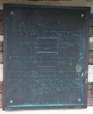
James White
Founder of Knoxville
Topics. This historical marker is listed in this topic list: Settlements & Settlers. A significant historical year for this entry is 1786.
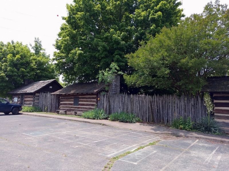
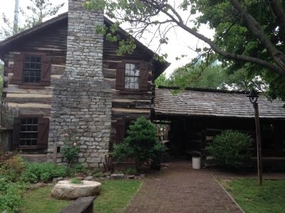
Location. 35° 57.77′ N, 83° 54.722′ W. Marker is in Knoxville, Tennessee, in Knox County. Marker is on Women's Basketball Hall of Fame Drive north of East Hill Drive, on the left when traveling north. Marker is on the exterior wall of James White's Fort Historic Site across the street from the Women's Basketball Hall of Fame. Touch for map. Marker is in this post office area: Knoxville TN 37915, United States of America. Touch for directions.
Other nearby markers. At least 8 other markers are within walking distance of this marker. Charles Krutch (within shouting distance of this marker); Beauford Delaney (within shouting distance of this marker); Ruth Valeria Cobb Brice (about 500 feet away, measured in a direct line); Earl O'Dell Henry (about 600 feet away); a different marker also named Earl O'Dell Henry (about 700 feet away); Chisholm Tavern (approx. 0.2 miles away); Chisolm's Tavern (approx. 0.2 miles away); Blount Mansion (approx. 0.2 miles away). Touch for a list and map of all markers in Knoxville.
Also see . . .
1. The History of James White's Fort. (Submitted on June 12, 2018, by Joel Seewald of Madison Heights, Michigan.)
2. Southwest Territory. Information about the Territory South of the River Ohio, also known as the Southwest Territory. (Submitted on June 12, 2018, by Joel Seewald of Madison Heights, Michigan.)
Credits. This page was last revised on June 15, 2018. It was originally submitted on August 22, 2014, by Michael Manning of Woodlawn, Tennessee. This page has been viewed 592 times since then and 16 times this year. Last updated on April 7, 2015, by J. Makali Bruton of Accra, Ghana. Photos: 1. submitted on August 22, 2014, by Michael Manning of Woodlawn, Tennessee. 2. submitted on June 12, 2018, by Joel Seewald of Madison Heights, Michigan. 3. submitted on August 22, 2014, by Michael Manning of Woodlawn, Tennessee. • Bill Pfingsten was the editor who published this page.


