Point Loma in San Diego in San Diego County, California — The American West (Pacific Coastal)
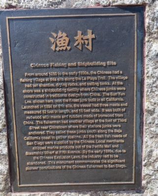
Chinese Fishing and Shipbuilding Site
Photographed by Bill Kirchner, March 30, 2015
1. Chinese Fishing and Shipbuilding Site Marker
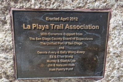
Erected 2012 by La Playa Trail
this page online
Topics. This historical marker is listed in these topic lists: Asian Americans • Industry & Commerce • Waterways & Vessels. A significant historical year for this entry is 1860.
Location. 32° 43.146′ N, 117° 13.871′ W. Marker is in San Diego, California, in San Diego County. It is in Point Loma. It is at the intersection of Talbot Street and Anchorage Lane, on the right when traveling south on Talbot Street. Touch for map. Marker is in this post office area: San Diego CA 92106, United States of America. Touch for directions.

Regionally, this marker is in the Peninsular Ranges. It is also in the American Borderlands and on the Pacific Coast. Globally, it is in North America, on the Ring of Fire, on the Pacific Rim, in the Western Hemisphere, in the Western World, and in the Anglosphere. Historically, it finds itself in what was once New Spain and also Mexico’s Alta California.
Other nearby markers. At least 8 other markers are within 2 miles of this marker, measured as the crow flies: Sportfishing Legacy (approx. half a mile away); USS Recruit (approx. 1.1 miles away); Old La Playa (approx. 1.1 miles
Photographed by Bill Kirchner, March 30, 2015
2. Chinese Fishing and Shipbuilding Site Marker
Photographed by Bill Kirchner, March 30, 2015
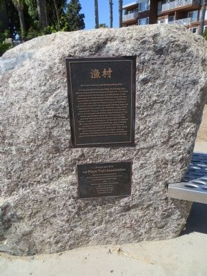
3. Chinese Fishing and Shipbuilding Site Marker
Photographed by Bill Kirchner, March 30, 2015
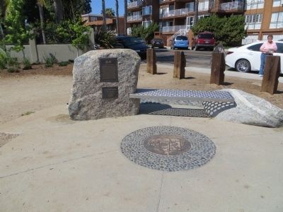
4. Chinese Fishing and Shipbuilding Site Marker
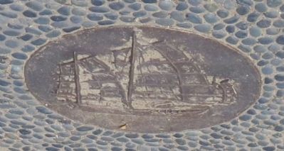
Photographed by Bill Kirchner, March 30, 2015
5. The Sun Yun Lee
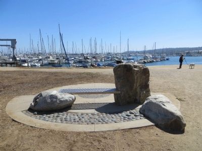
Photographed by Bill Kirchner, March 30, 2015
6. Chinese Fishing and Shipbuilding Site
Credits. This page was last revised on October 28, 2024. It was originally submitted on April 9, 2015, by Bill Kirchner of Tucson, Arizona. This page has been viewed 1,077 times since then and 57 times this year. Photos: 1, 2, 3, 4, 5, 6. submitted on April 9, 2015, by Bill Kirchner of Tucson, Arizona. • Andrew Ruppenstein was the editor who published this page.
