Reisterstown in Baltimore County, Maryland — The American Northeast (Mid-Atlantic)
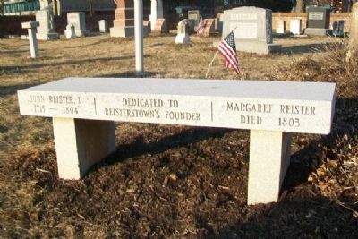
John and Margaret Reister
1715 - 1804
Margaret Reister
Died 1803
Dedicated to
Reistertown's Founder
Topics. This historical marker is listed in these topic lists: Cemeteries & Burial Sites • Settlements & Settlers. A significant historical year for this entry is 1715.
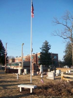
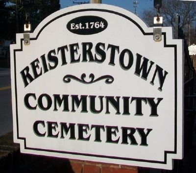
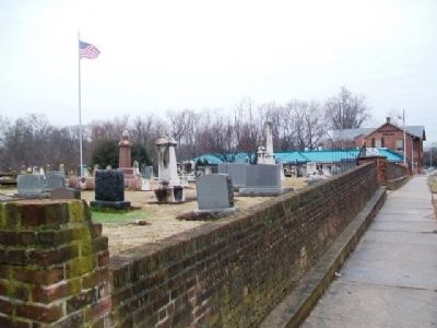
Location. 39° 27.829′ N, 76° 49.814′ W. Marker is in Reisterstown, Maryland, in Baltimore County. Monument is in Reistertown Community Cemetery, about 400 feet WSW of the intersection of Cockeys Mill Road and Main Street (Maryland Route 140). Touch for map. Marker is in this post office area: Reisterstown MD 21136, United States of America. Touch for directions.
Other nearby markers. At least 8 other markers are within 2 miles of this marker, measured as the crow flies. Oldest High School in Baltimore County (within shouting distance of this marker); Colonel William Norris (about 300 feet away, measured in a direct line); “Buffalo Soldiers” (about 300 feet away); Railroad Ave (approx. one mile away); Glyndon Station (approx. one mile away); Hannah More Academy (approx. 1.1 miles away); Glyndon (approx. 1.1 miles away); Original Cornerstone of the Franklin Senior High School (approx. 1.2 miles away). Touch for a list and map of all markers in Reisterstown.
Credits. This page was last revised on August 6, 2021. It was originally submitted on April 13, 2015, by William Fischer, Jr. of Scranton, Pennsylvania. This page has been viewed 688 times since then and 25 times this year. Last updated on April 13, 2015, by J. Makali Bruton of Accra, Ghana. Photos: 1, 2, 3, 4. submitted on April 13, 2015, by William Fischer, Jr. of Scranton, Pennsylvania. • Bill Pfingsten was the editor who published this page.


