Murfreesboro in Rutherford County, Tennessee — The American South (East South Central)
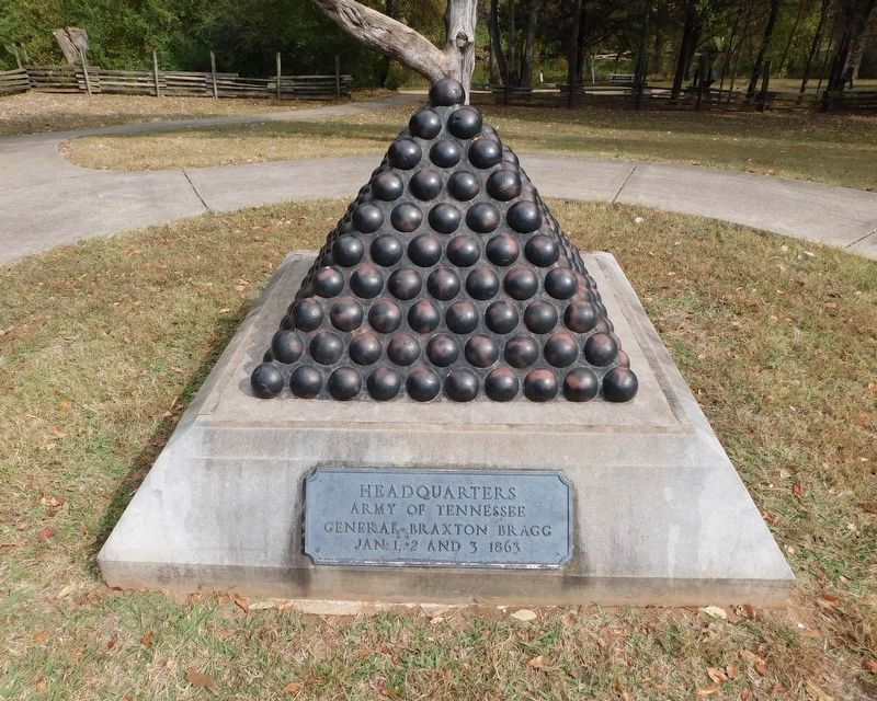
Bragg's Headquarters
Fateful Decisions at Stones River
— Battle of Stones River —
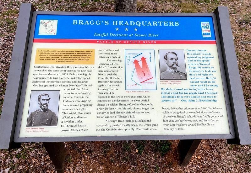
(Preface): Union Gen. William S. Rosecrans led the Army of the Cumberland from Nashville toward Murfreesboro in December 1862, while Confederate Gen. Braxton Bragg and the Army of the Tennessee occupied the town to protect the approaches to Chattanooga. The armies clashed on December 31, and a flank attack almost swept the Federals from the field. Rosecrans fended off attacks on January 2 and prepared to take the offensive. Bragg, his army exhausted, evacuated Murfreesboro the next day. There were 81,000 soldiers engaged - one of the bloodiest battles of the war.
Confederate Gen. Braxton Bragg was troubled as he watched the tents go up here at his new headquarters on January 1, 1863. Before moving his headquarters to this place, he had telegraphed Richmond the previous evening and declared, "God has granted us a happy New Year." He had expected the Union army to be retreating by now. Instead, the Federals were digging trenches and preparing to renew the fight. That night, thousands of Union soldiers - a division under Col. Samuel Beatty - crossed Stones River north of here and positioned themselves on a high hill.
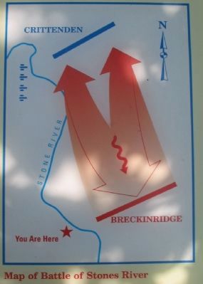
The next day, Bragg called Gen. John C. Breckinridge here and ordered him to push the Federals off the hill. Breckinridge argued against the attack, knowing that his men would be exposed the to fire of more than fifty Union cannons on a ridge across the river behind Beatty's position. Bragg refused to change the order. He knew that his only chance to get the victory he had already claimed was to keep Union cannon off Beatty's hill.
Although Breckinridge attacked and successfully pushed Beatty back, the Union guns cut the Confederates up badly. The result was a bloody defeat that left more than 1,900 Confederate soldiers laying dead or wounded along the banks of the river. Bragg's subordinates finally persuaded him that the battle was over, and he withdrew from Murfreesboro toward Shelbyville on January 3, 1863.
"General Preston, this attack is made against my judgment and by the special orders of General Bragg. Of course we all must try to do our duty and fight the best we can. But if it should result in disaster and I be among the slain, I want you to do justice to my memory and tell the people that I believed this attack to be very unwise and tried to prevent it." - Gen. John C. Breckinridge.
Erected by Tennessee Civil War Trails.
Topics and series. This historical marker is listed in this topic list: War, US Civil. In addition, it is included in the Tennessee Civil War Trails series list. A significant historical month for this entry is January 1916.
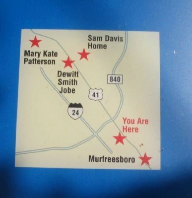
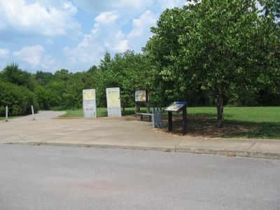
Location. 35° 52.174′ N, 86° 25.185′ W. Marker is in Murfreesboro, Tennessee, in Rutherford County. Marker is on West College Street, on the right when traveling north. Located at the General Bragg Trailhead of the Greenway Trail Park System. Touch for map. Marker is in this post office area: Murfreesboro TN 37129, United States of America. Touch for directions.
Other nearby markers. At least 8 other markers are within walking distance of this marker. Headquarters (about 300 feet away, measured in a direct line); Battle at Stones River (about 400 feet away); Stones River (about 800 feet away); Murfreesboro/Rutherford County (approx. 0.3 miles away); Chalmers’ Brigade at Murfreesboro (approx. 0.4 miles away); Donelson’s Brigade at Murfreesboro (approx. 0.4 miles away); Army of the Cumberland (approx. half a mile away); a different marker also named Battle at Stones River (approx. half a mile away). Touch for a list and map of all markers in Murfreesboro.
Also see . . . The Battle of Stones River. NPS Stones River National Battlefield Tennessee website entry (Submitted on March 28, 2022, by Larry Gertner of New York, New York.)
Credits. This page was last revised on December 19, 2022. It was originally submitted on November 6, 2010, by Craig Swain of Leesburg, Virginia. This page has been viewed 1,188 times since then and 49 times this year. Last updated on April 17, 2015, by J. Makali Bruton of Accra, Ghana. Photos: 1. submitted on March 14, 2021, by Shane Oliver of Richmond, Virginia. 2, 3, 4. submitted on November 6, 2010, by Craig Swain of Leesburg, Virginia. 5. submitted on December 18, 2022, by Bradley Owen of Morgantown, West Virginia. • Bill Pfingsten was the editor who published this page.
