Columbia Heights in Northwest Washington in Washington, District of Columbia — The American Northeast (Mid-Atlantic)
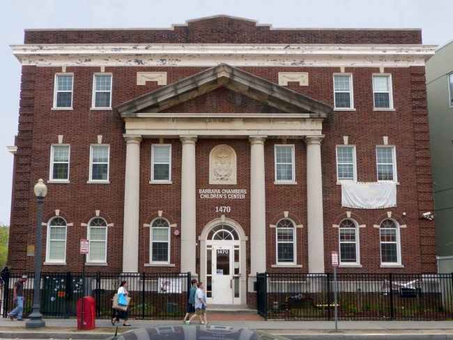
The Wilson Center
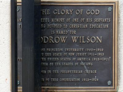
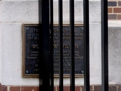
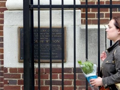
Inscription.
And in grateful memory of one of his servants
This building devoted to Christian education
Is named for
Woodrow Wilson
President of Princeton University 1902 — 1910
Governor of the state of New Jersey 1911 — 1913
President of the United States of America 1913 — 1921
Founder of the League of Nations
An Elder in the Presbyterian Church
A member of this congregation 1913 — 1924
Topics and series. This historical marker is listed in these topic lists: Churches & Religion • Government & Politics. In addition, it is included in the Former U.S. Presidents: #28 Woodrow Wilson series list. A significant historical year for this entry is 1902.
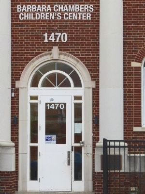
Location. 38° 55.715′ N, 77° 2.123′ W. Marker is in Northwest Washington in Washington, District of Columbia. It is in Columbia Heights. Marker can be reached from Irving Street Northwest east of 15th Street Northwest, on the right when traveling east. Touch for map. Marker is at or near this postal address: 1470 Irving Street Northwest, Washington DC 20010, United States of America. Touch for directions.
Other nearby markers. At least 8 other markers are within walking distance of this marker. Turbulence and Change (within shouting distance of this marker); Upheaval and Activism (about 400 feet away, measured in a direct line); Francis Asbury (about 500 feet away); Fashionable 16th Street (about 500 feet away); Everyday People (about 500 feet away); The Trolley Arrives in Mount Pleasant (about 600 feet away); Mount Pleasant Library (approx. 0.2 miles away); The Urban Village (approx. 0.2 miles away). Touch for a list and map of all markers in Northwest Washington.
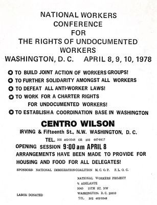
Regarding The Wilson Center. “In the mid 1970s, the Wilson Center, now a charter school where 15th Street meets 16th, became a hub of Latino community organizing. The center’s name honors President Woodrow Wilson, who worshiped there when it was Central Presbyterian Church. ”
-- Village in the City Mount Pleasant Trail Booklet.
“Since its opening in the '80s, the Wilson Center has been one of the major hubs of the punk movement showcasing bands such as the Bad Brains, Minor Threat, SOA, and Fugazi.” — One last dance at the Wilson Center by Andrew Phillips, The GW Hatchet, November 1, 2001.
Today the Wilson Center is the Barbara Chambers Children's Center.
Credits. This page was last revised on January 30, 2023. It was originally submitted on April 22, 2015, by Allen C. Browne of Silver Spring, Maryland. This page has been viewed 707 times since then and 43 times this year. Photos: 1, 2, 3, 4, 5, 6. submitted on April 22, 2015, by Allen C. Browne of Silver Spring, Maryland. 7. submitted on April 23, 2015, by Allen C. Browne of Silver Spring, Maryland. • Bill Pfingsten was the editor who published this page.
