Monterey in Monterey County, California — The American West (Pacific Coastal)
Larkin House
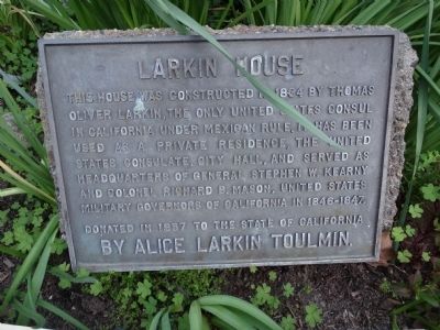
Photographed by Denise Boose, March 7, 2015
1. Larkin House Marker
This house was constructed in 1834 by Thomas Oliver Larkin, the only United States Consul in California under Mexican rule. It has been used as a private residence, the United States Consulate, City Hall, and served as Headquarters of General Stephen W. Kearny and Colonel Richard B. Mason, United States Military Governors of California in 1846-1847.
Donated in 1957 to the State of California by Alice Larkin Toulmin.
Erected by Alice Larkin Toulmin.
Topics. This historical marker is listed in these topic lists: Government & Politics • War, Mexican-American. A significant historical year for this entry is 1834.
Location. 36° 35.876′ N, 121° 53.776′ W. Marker is in Monterey, California, in Monterey County. It is on Calle Principal at Jefferson Street Monterey, on the left when traveling south. Located in the courtyard gardens. Touch for map. Marker is at or near this postal address: 464 Calle Principal at Jefferson Street Monterey, Monterey CA 93940, United States of America. Touch for directions.

Regionally, this marker is on the Central Coast and specifically on the Coast Ranges. It is also on the American
this page online
Other nearby markers. At least 8 other markers are within walking distance of this marker: Quarters of General William Tecumseh Sherman (a few steps from this marker); a different marker also named Larkin House (a few steps from this marker); 19th Century Sailing Ship's Anchor (within shouting distance of this marker); House of Four Winds (within shouting distance of this marker); Chestnut Tree (within shouting distance of this marker); Roger Stanley Fitch (within shouting distance of this marker); Moon Tree (within shouting distance of this marker); Casa Amesti (within shouting distance of this marker). Touch for a list and map of all markers in Monterey.
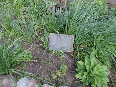
Photographed by Denise Boose, March 7, 2015
2. Larkin House Marker
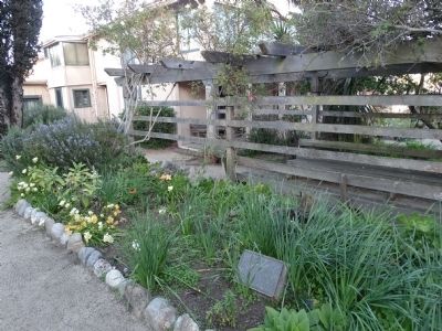
Photographed by Denise Boose, March 7, 2015
3. Larkin House Marker
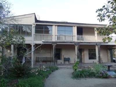
Photographed by Denise Boose, March 7, 2015
4. Larkin House
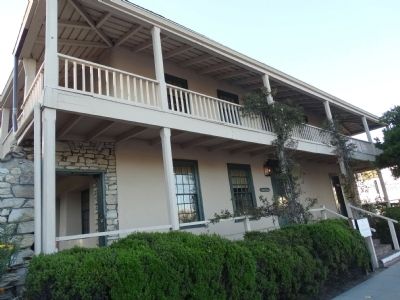
Photographed by Denise Boose, March 7, 2015
5. Larkin House
Credits. This page was last revised on January 9, 2025. It was originally submitted on March 28, 2015, by Denise Boose of Tehachapi, California. This page has been viewed 636 times since then and 15 times this year. Last updated on April 22, 2015, by J. Makali Bruton of Washington, District of Columbia. Photos: 1, 2, 3, 4, 5. submitted on March 28, 2015, by Denise Boose of Tehachapi, California. • Andrew Ruppenstein was the editor who published this page.
