Pigeon Island, Gros Islet, Saint Lucia — Caribbean Region (Lesser Antilles)
Fort Rodney
Fort Rodney
1778
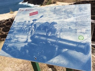
Pigeon Island, only some 40 kilometres (25 miles) south of the French base at Fort Royal, Martinique, had long been recognized by the British Admiral Rodney as an important observation and defensive site. In 1780 he wrote ”…this is the post the Governor of Martinique had set his eye on and if possessed by the enemy would deprive us of the best anchorage place in these islands and from which Martinique is always attackable…”
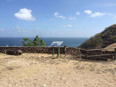
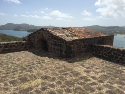
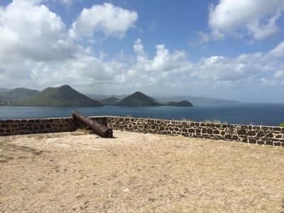
Fort Rodney was built in 1778 with an armament of three 24-pounders and two eleven and a half inch mortars. The cannons sat on timbers on the cobblestone platform, and the platform also served as a water catchment as you can see by the little drain around the walls that runs into the well. Water was used on the gun platform to swab the hot cannons and to remove gunpowder that did not ignite. For drinking, the water was filtered through a 3-gallon limestone filter. Next to the well you can see the powder magazine, a cool underground chamber where the gunpowder was kept.
Look for St. Lucia and the Pitons to the south-east, and on a clear day, Martinique to the north.
Erected by Saint Lucia National Trust.
Topics. This memorial is listed in these topic lists: Colonial Era • Forts and Castles. A significant historical year for this entry is 1778.
Location. 14° 5.48′ N, 60° 58.009′ W. Marker is on Pigeon Island, Gros Islet. This marker is at Fort Rodney. Touch for map. Marker is in this post office area: Pigeon Island, Gros Islet LC01 101, Saint Lucia. Touch for directions.
Other nearby markers. At least 8 other markers are within walking distance of this marker. U.S. Signal Station (within shouting distance of this marker); Musket Redoubt (about 90 meters away, measured in a direct line); Carib Caves (about 120 meters away); Josset's House (about 180 meters away); Gunslide (approx. 0.3 kilometers away); Lime Kiln (approx. 0.3 kilometers away); Cooperage (approx. 0.4 kilometers away); C.O.'s Quarters (approx. 0.4 kilometers away). Touch for a list and map of all markers in Pigeon Island.
Credits. This page was last revised on February 22, 2020. It was originally submitted on April 26, 2015, by J. Makali Bruton of Accra, Ghana. This page has been viewed 1,573 times since then and 233 times this year. Photos: 1, 2, 3, 4. submitted on April 26, 2015, by J. Makali Bruton of Accra, Ghana. • Andrew Ruppenstein was the editor who published this page.


