
Washington Irving's Camp
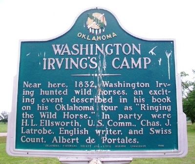
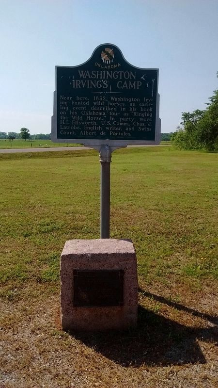
Near here, 1832, Washington Irving hunted wild horses, an exciting event described in his book on his Oklahoma tour as "Ringing the Wild Horse." In party were H. L. Ellsworth, U.S. Comm., Chas. J. Latrobe, English writer, and Swiss Count, Albert de Portales.
Erected 1949 by Oklahoma Historical Society and State Highway Commission.
Topics and series. This historical marker is listed in these topic lists: Arts, Letters, Music • Exploration. In addition, it is included in the Oklahoma Historical Society series list. A significant historical year for this entry is 1832.
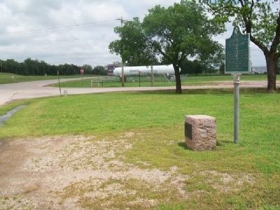
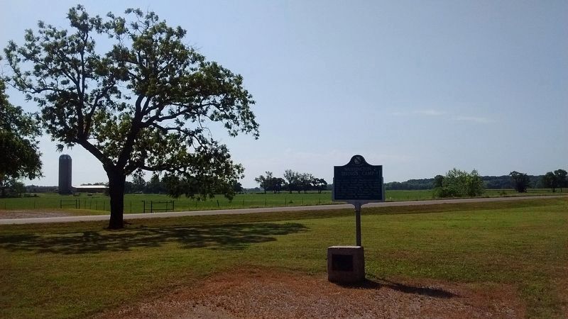
Location. 35° 39.924′ N, 97° 19.116′ W. Marker is in Arcadia, Oklahoma, in Oklahoma County. It is at the intersection of State Highway 66 and Anderson Road, on the right when traveling east on State Highway 66. Marker is at a roadside pulloff. Touch for map. Marker is in this post office area: Arcadia OK 73007, United States of America. Touch for directions.
Regionally, this marker is in Central Oklahoma — Frontier Country and in Greater Oklahoma City. It is also in the American South, specifically on the prairies, and on the Southern Plains.
this page online
Other nearby markers. At least 8 other markers are within walking distance of this marker: A different marker also named Washington Irving's Camp (here, next to this marker); Tuton's Drugstore (approx. 0.4 miles away); Everybody Had One (approx. half a mile away); Route 66 (approx. half a mile away); Beverly and Karl White (approx. half a mile away); Frank and Katie Vrana (approx. half a mile away); Luke and Anna Robison (approx. half a mile away); Arcadia Round Barn, Arcadia, Oklahoma (approx. half a mile away). Touch for a list and map of all markers in Arcadia.
Credits. This page was last revised on May 26, 2021. It was originally submitted on May 8, 2015, by William Fischer, Jr. of Reynoldsburg, Ohio. This page has been viewed 1,320 times since then and 44 times this year. Last updated on May 9, 2015, by Barry Swackhamer of Brentwood, California. Photos: 1. submitted on May 8, 2015, by William Fischer, Jr. of Reynoldsburg, Ohio. 2. submitted on June 5, 2018, by Tom Bosse of Jefferson City, Tennessee. 3. submitted on May 8, 2015, by William Fischer, Jr. of Reynoldsburg, Ohio. 4. submitted on June 5, 2018, by Tom Bosse of Jefferson City, Tennessee. • Bill Pfingsten was the editor who published this page.
