Zionsville in Boone County, Indiana — The American Midwest (Great Lakes)
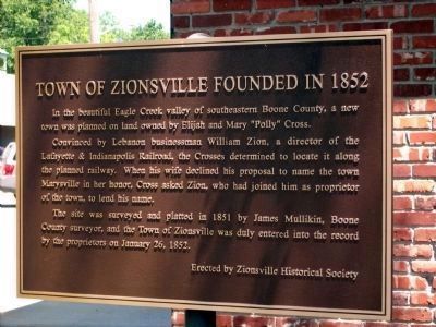
Town of Zionsville Founded in 1852
Photographed By Al Wolf, June 14, 2008
1. Town of Zionsville (Indiana) Founded in 1852 Marker
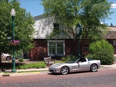
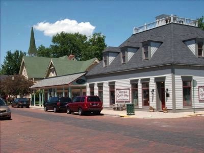
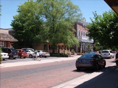
The Town of Zionsville followed the railroad and prospered. As the railway grew, Zionsville dirt streets improved to brick paved travel. The historic bricks and buildings house a lush step back into time that bring many people to enjoy the shops and scenic area.
Convinced by Lebanon businessman William Zion, a director of the Lafayette & Indianapolis Railroad, the Crosses determined to locate it along the planned railway. When his wife declined his proposal to name the town Marysville in her honor, Cross asked Zion, who had joined him as proprietor of the town, to lend his name.
The site was surveyed and platted in 1851 by James Mullikin, Boone County surveyor, and the Town of Zionsville was duly entered into the record by the proprietors on January 26, 1852.
Erected by Zionsville Historical Society.
Topics. This historical marker is listed in these topic lists: Railroads & Streetcars • Settlements & Settlers. A significant historical month for this entry is January 1861.
Location. 39° 57.079′ N, 86° 15.714′ W. Marker is in Zionsville, Indiana, in Boone County. Marker is at the intersection of South Main Street and East Cedar Street, on the right when traveling north on South Main Street. Touch for map. Marker is in this post office area: Zionsville IN 46077, United States of America. Touch for directions.
Other nearby markers. At least 8 other markers are within 5 miles of this marker, measured as the crow flies. Lincoln's Stop in Zionsville, Indiana (about 300 feet away, measured in a direct line); Site of the Old Zionsville Inn (about 600 feet away); Original Plat Historical Block No. 8 (approx. 0.2 miles away); Patrick H. Sullivan (approx. 0.2 miles away); Michigan Road (approx. 1.3 miles away); Maplelawn Farmstead (approx. 1.6 miles away); Salem Evangelical Lutheran Church (approx. 4.8 miles away); New Augusta (approx. 4.9 miles away). Touch for a list and map of all markers in Zionsville.
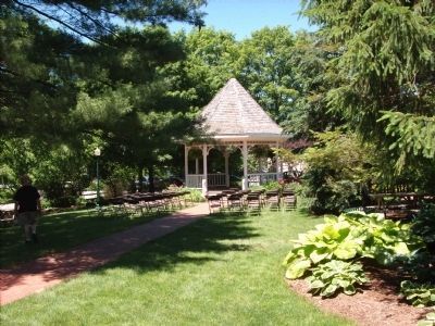
Photographed By Al Wolf, June 14, 2008
5. Zionsville "Lincoln Park" Band Stand.
A short block walk from down town is the well known "Lincoln Park". It is the site where Abraham Lincoln stopped on his Inaugural trip to Washington, D. C.. The park is well worth the stroll to enjoy the shade and benches.
Credits. This page was last revised on November 18, 2019. It was originally submitted on June 15, 2008, by Al Wolf of Veedersburg, Indiana. This page has been viewed 2,809 times since then and 42 times this year. Photos: 1, 2, 3, 4, 5. submitted on June 15, 2008, by Al Wolf of Veedersburg, Indiana. • Kevin W. was the editor who published this page.
