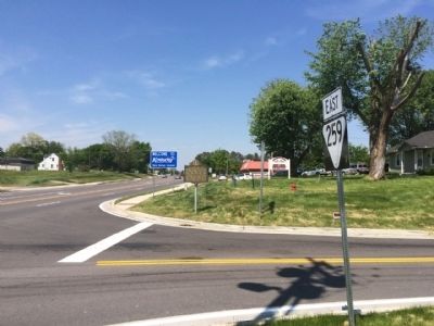
Near Franklin in Simpson County, Kentucky — The American South (East South Central)
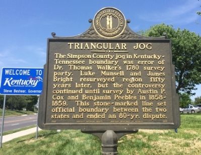
Triangular Jog
Erected 1989 by the Kentucky Historical Society, Kentucky Department of Highways. (Marker Number 1850.)
Topics and series. This historical marker is listed in this topic list: Exploration. In addition, it is included in the Kentucky Historical Society series list. A significant historical year for this entry is 1780.
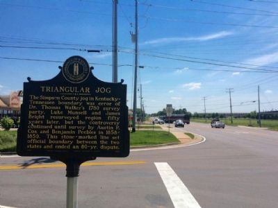
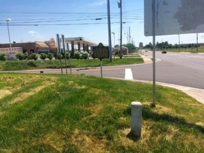
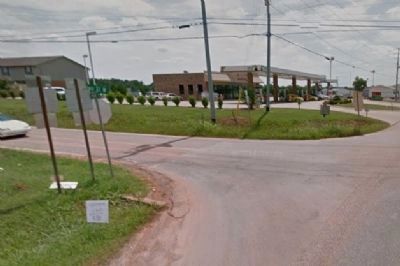
Location. 36° 38.016′ N, 86° 33.816′ W. Marker is near Franklin, Kentucky, in Simpson County. Marker is at the intersection of Nashville Road (U.S. 31W) and Tennessee Route 259, on the right when traveling north on Nashville Road. Marker has been moved a few yards south of its original location after some landscaping and curbing that has been done. Touch for map. Marker is at or near this postal address: 6110 US 31 West, Franklin KY 42134, United States of America. Touch for directions.
Other nearby markers. At least 8 other markers are within 3 miles of this marker, measured as the crow flies. AmVets Memorial (approx. 0.6 miles away in Tennessee); Civil War in Tennessee (approx. 0.6 miles away in Tennessee); Replica of Stone #38 (approx. ¾ mile away); Oklahoma City Bombing Memorial (approx. ¾ mile away); Duval-Groves House (approx. 1.1 miles away in Tennessee); Sandford Duncan Inn / Noted Dueling Ground (approx. 1.3 miles away); Camp Trousdale (approx. 1½ miles away in Tennessee); Birthplace of T.O. Chisholm / Noted Hymn Writer (1866-1960) (approx. 2.4 miles away). Touch for a list and map of all markers in Franklin.
Credits. This page was last revised on March 27, 2017. It was originally submitted on May 15, 2015, by Mark Hilton of Montgomery, Alabama. This page has been viewed 1,127 times since then and 68 times this year. Photos: 1, 2, 3. submitted on May 15, 2015, by Mark Hilton of Montgomery, Alabama. 4. submitted on May 17, 2015, by Mark Hilton of Montgomery, Alabama. 5. submitted on May 15, 2015, by Mark Hilton of Montgomery, Alabama.
