Port Bolivar in Galveston County, Texas — The American South (West South Central)
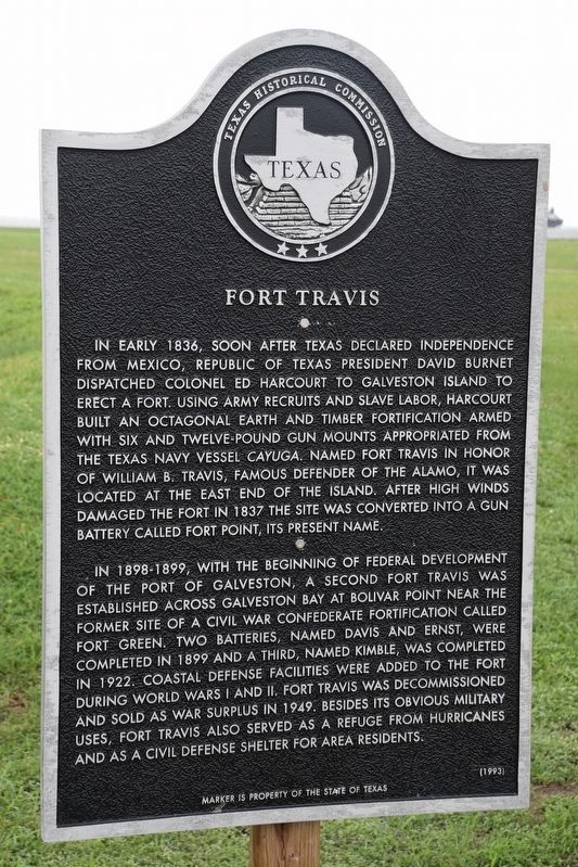
Fort Travis
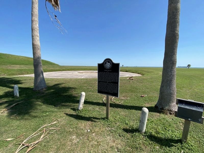
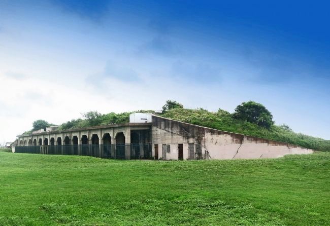
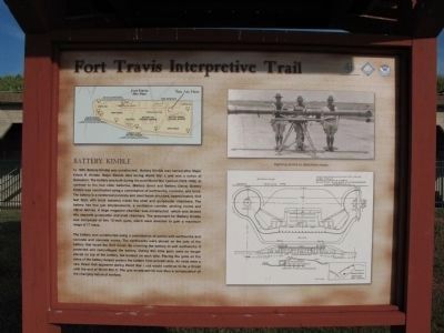
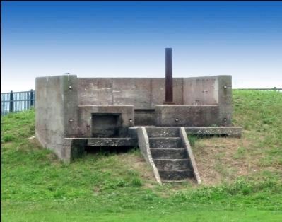
In 1898-99, with the beginning of federal development of the Port of Galveston, a second Fort Travis was established across Galveston Bay at Bolivar Point near the former site of a Civil War Confederate fortification called Fort Green. Two batteries, named Davis and Ernst, were completed in 1899 and a third, named Kimble, completed in 1922. Coastal defense facilities were added to the fort during World Wars I and II. Fort Travis was decommissioned and sold as war surplus in 1949. Besides its obvious military uses, Fort Travis also served as a refuge from hurricanes and as a Civil Defense shelter for area residents.
Erected 1993 by Texas Historical Commission. (Marker Number 7452.)
Topics. This historical marker is listed in these topic lists: Forts and Castles • War, Texas Independence • War, World I • War, World II. A significant historical year for this entry is 1836.
Location. 29° 21.959′ N, 94° 45.407′ W. Marker is in Port Bolivar, Texas, in Galveston County. Marker is on 10th Street south of Anderson Avenue, on the right when traveling south. Located in Fort Travis Seashore Park. Touch for map. Marker is in this post office area: Port Bolivar TX 77650, United States of America. Touch for directions.
Other nearby markers. At least 8 other markers are within 3 miles of this marker, measured as the crow flies. Jane Herbert Wilkinson Long (approx. 0.2 miles away); Bolivar Point (approx. 0.2 miles away); Fort San Jacinto (approx. 2.2 miles away); SS Selma (approx. 2.4 miles away); Galveston: Gateway to Texas (approx. 2.4 miles away); Galveston Quarantine Stations (approx. 2.4 miles away); U.S.S. Seawolf Memorial (approx. 2.6 miles away); Galveston Island (approx. 2.8 miles away). Touch for a list and map of all markers in Port Bolivar.
Also see . . . History of Fort Travis Seashore Park. Information regarding the area and history of the fort including a photo of the marker. (Submitted on August 19, 2010.)
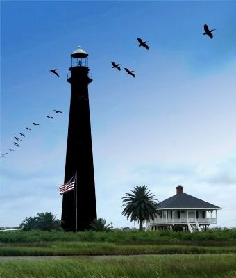
Photographed By Jim Evans, May 15, 2015
7. Lighthouse Across the Highway From the Fort
Point Bolivar Light is a historic lighthouse in Port Bolivar, Texas, that was built in 1872. It served for 61 years before being retired in 1933.
The current lighthouse is at least the second structure at the site. The first lighthouse was built in the mid-1850s and was taken down during the Civil War so that Union warships could not use it as a navigational aid.
After withstanding over 150 years of erosion, the lighthouse is now entirely black. This has caused some to call it "The Haunted Lighthouse" of Bolivar.
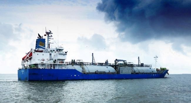
Photographed By Jim Evans, May 15, 2015
8. Tanker Photographed From the Bolivar Ferry
The Bolivar Ferry carries cars and people from Galveston Island to Bolivar Peninsula and vice versa continuously. One boat runs at night and two during the day and they may add a third at peak traffic times. It isn't always quick (waiting time to board the ferry can be long), but it's still the quickest way.
Credits. This page was last revised on July 2, 2023. It was originally submitted on August 15, 2010, by Richard Denney of Austin, Texas. This page has been viewed 2,523 times since then and 47 times this year. Last updated on May 15, 2015, by Jim Evans of Houston, Texas. Photos: 1. submitted on July 2, 2023, by Steve Henderson of Marble Falls, Texas. 2. submitted on October 8, 2020, by Brian Anderson of Humble, Texas. 3. submitted on August 15, 2010, by Richard Denney of Austin, Texas. 4. submitted on May 17, 2015, by Jim Evans of Houston, Texas. 5. submitted on August 15, 2010, by Richard Denney of Austin, Texas. 6. submitted on May 15, 2015, by Jim Evans of Houston, Texas. 7. submitted on May 16, 2015, by Jim Evans of Houston, Texas. 8. submitted on May 17, 2015, by Jim Evans of Houston, Texas. • Bernard Fisher was the editor who published this page.
