Bowling Green in Warren County, Kentucky — The American South (East South Central)
Shake Rag
Side 1
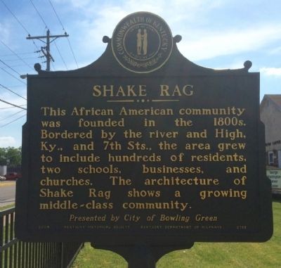
This African American community was founded in the 1800s. Bordered by the river and High, Ky., and 7th Sts., the area grew to include hundreds of residents, two schools, businesses, and churches. The architecture of Shake Rag shows a growing middle-class community.
Side 2
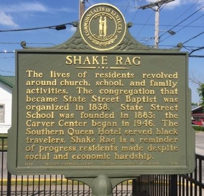
The lives of residents revolved around church, school, and family activities. The congregation that became State Street Baptist was organized in 1838. State Street School was founded in 1883; the Carver Center began in 1946. The Southern Queen Hotel served black travelers. Shake Rag is a reminder of progress residents made despite social and economic hardship.
Erected 2004 by the Kentucky Historical Society, Kentucky Department of Highways. (Marker Number 2158.)
Topics and series. This historical marker is listed in these topic lists: African Americans • Churches & Religion • Education. In addition, it is included in the Kentucky Historical Society series list. A significant historical year for this entry is 1838.
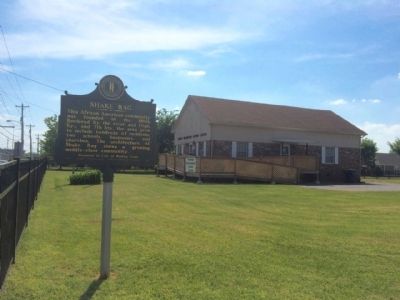
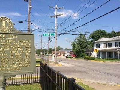
Location. 36° 59.931′ N, 86° 25.884′ W. Marker is in Bowling Green, Kentucky, in Warren County. Marker is at the intersection of East 2nd Avenue and State Street, on the right when traveling east on East 2nd Avenue. Touch for map. Marker is at or near this postal address: 201 State Street, Bowling Green KY 42101, United States of America. Touch for directions.
Other nearby markers. At least 8 other markers are within walking distance of this marker. Ora Porter (within shouting distance of this marker); Western Kentucky University (approx. 0.2 miles away); The Bridge (approx. 0.2 miles away); College Street Bridge (approx. 0.2 miles away); Bowling Green & Warren County (approx. 0.2 miles away); The Barren River (approx. 0.2 miles away); The Limestone Bluffs (approx. 0.2 miles away); The Civil War in Bowling Green (approx. 0.2 miles away). Touch for a list and map of all markers in Bowling Green.
Also see . . . ShakeRag Historic District. (Submitted on May 16, 2015, by Mark Hilton of Montgomery, Alabama.)
Credits. This page was last revised on June 16, 2016. It was originally submitted on May 16, 2015, by Mark Hilton of Montgomery, Alabama. This page has been viewed 487 times since then and 25 times this year. Photos: 1, 2, 3, 4. submitted on May 16, 2015, by Mark Hilton of Montgomery, Alabama.


