Carmel-by-the-Sea in Monterey County, California — The American West (Pacific Coastal)
Lt. Colonel Juan Bautista De Anza
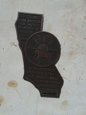
Photographed by Denise Boose, March 8, 2015
1. Lt. Colonel Juan Bautista De Anza Marker
Topics and series. This historical marker is listed in this topic list: Exploration. In addition, it is included in the Juan Bautista de Anza National Historic Trail series list. A significant historical year for this entry is 1775.
Location. 36° 32.57′ N, 121° 55.191′ W. Marker is in Carmel-by-the-Sea, California, in Monterey County. It is on Rio Road, on the right when traveling north. Touch for map. Marker is at or near this postal address: 3080 Rio Road, Carmel CA 93923, United States of America. Touch for directions.

Regionally, this marker is on the Central Coast and specifically on the Coast Ranges. It is also on the American Pacific Coast. Globally, it is in North America, on the Ring of Fire, on the Pacific Rim, in the Western Hemisphere, in the Western World, and in the Anglosphere. Historically, it finds itself in what was once New Spain and also Mexico’s Alta California.
Other nearby markers. At least 8 other markers
this page online
Photographed by Denise Boose, March 8, 2015
2. Lt. Colonel Juan Bautista De Anza Marker
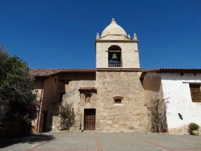
Photographed by Denise Boose, March 8, 2015
3. Lt. Colonel Juan Bautista De Anza Marker
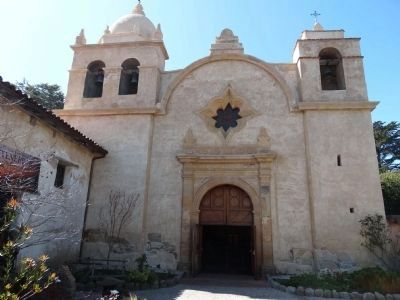
Photographed by Denise Boose, March 8, 2015
4. San Carlos Borromeo de Carmelo Mission
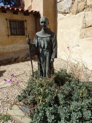
Photographed by Denise Boose, March 8, 2015
5. Father Junipero Serra
Credits. This page was last revised on November 17, 2020. It was originally submitted on May 16, 2015, by Denise Boose of Tehachapi, California. This page has been viewed 666 times since then and 28 times this year. Photos: 1, 2, 3, 4, 5. submitted on May 16, 2015, by Denise Boose of Tehachapi, California. • Andrew Ruppenstein was the editor who published this page.
