Woody in Kern County, California — The American West (Pacific Coastal)
Woody
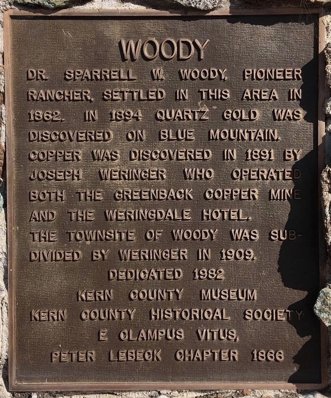
Photographed by Craig Baker, March 8, 2021
1. Woody Marker
Erected 1982 by Peter Lebeck Chapter 1866 E Clampus Vitus and Kern County Museum.
Topics and series. This historical marker is listed in these topic lists: Agriculture • Industry & Commerce • Settlements & Settlers. In addition, it is included in the E Clampus Vitus series list. A significant historical year for this entry is 1862.
Location. 35° 42.259′ N, 118° 50.063′ W. Marker is in Woody, California, in Kern County. It is at the intersection of Woody Road and State Highway 155, on the left when traveling east on Woody Road. Touch for map. Marker is in this post office area: Woody CA 93287, United States of America. Touch for directions.

Regionally, this marker is in the San Joaquin Valley, specifically in the Central Valley, and in the Sierra Nevada. It is also on the American Pacific Coast. Globally,
this page online
Other nearby markers. At least 8 other markers are within 8 miles of this marker, measured as the crow flies: Joseph Weringer, Sr. (about 500 feet away, measured in a direct line); Mountain House (approx. 5.4 miles away); Garcés Baptismal Site (approx. 5.9 miles away); Lynn’s Bull Road (approx. 6 miles away); Granite Station (approx. 6.4 miles away); Lavers Crossing (approx. 6.8 miles away); Tailholt (approx. 7½ miles away); Glennville Adobe (approx. 7.7 miles away). Touch for a list and map of all markers in Woody.
Additional commentary.
1. What the Plaque Doesn't Tell You...
As any good history buff knows, when Col. Thomas Baker first came to “Kern Island”, he bought a shack from a fellow named Christian Bohna ---- But, what you may not yet know, in about 1860, a fellow by the name of Dr. Sparrell W. Woody came to Kern Island and after a short engagement, married Eugenie, Christian
Photographed by Alan Price - ECV Chapter 1866
2. Woody Marker
— Submitted May 17, 2015.
Photographed by Alan Price - ECV Chapter 1866
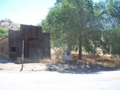
3. Woody Marker
Photographed by Craig Baker, March 8, 2021
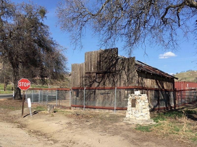
4. Woody Marker
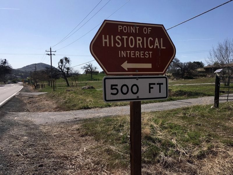
Photographed by Craig Baker, March 8, 2021
5. Street Sign
Credits. This page was last revised on March 11, 2021. It was originally submitted on May 17, 2015, by Alan Price or Jayne Hotchkiss-Price of Caliente, California. This page has been viewed 1,205 times since then and 73 times this year. Photos: 1. submitted on March 11, 2021, by Craig Baker of Sylmar, California. 2, 3. submitted on May 17, 2015, by Alan Price or Jayne Hotchkiss-Price of Caliente, California. 4, 5. submitted on March 11, 2021, by Craig Baker of Sylmar, California. • Syd Whittle was the editor who published this page.
