Amherst in Erie County, New York — The American Northeast (Mid-Atlantic)
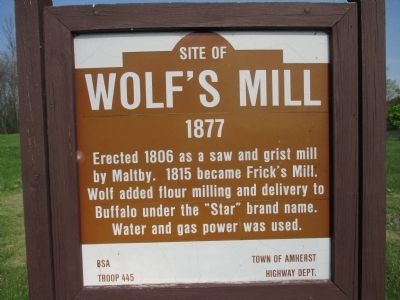
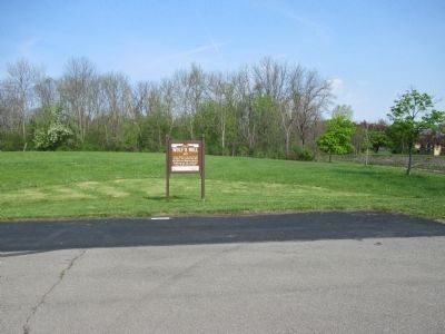
Site of Wolf's Mill
1877
1877
Erected 1806 as a saw and grist mill
by Maltby. 1815 became Frick's Mill.
Wolf added flour milling and delivery to
Buffalo under the "Star" brand name.
Water and gas power was used.
Erected by Boy Scouts of America Troop 445, Town of Amherst Highway Department.
Topics. This historical marker is listed in this topic list: Industry & Commerce. A significant historical year for this entry is 1806.
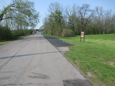
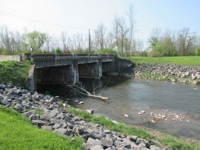
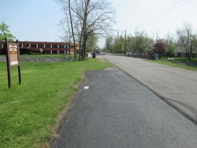
Location. 43° 0.375′ N, 78° 46.552′ W. Marker is in Amherst, New York, in Erie County. Marker is on Saint Rita's Lane, ¼ mile south of North Forest Road, on the right when traveling south. Saint Rita's Lane is closed to vehicular traffic at the Ellicott Creek Bridge. Walk south across the bridge to the marker. Touch for map. Marker is in this post office area: Buffalo NY 14261, United States of America. Touch for directions.
Other nearby markers. At least 8 other markers are within 4 miles of this marker, measured as the crow flies. Former Saint Mary of the Angels (approx. 2.7 miles away); A Dam on Tonawanda Creek (approx. 3 miles away); St. John's Cemetery (approx. 3.1 miles away); Former Cemetery (approx. 3.2 miles away); SS. Peter & Paul Church (approx. 3.3 miles away); Williamsville Water Mill (approx. 3.3 miles away); Williamsville Christian Church (approx. 3.4 miles away); U. S. Barracks 1812 (approx. 3½ miles away). Touch for a list and map of all markers in Amherst.
More about this marker. Marker is on the grounds of the State University of New York at Buffalo (aka: U.B.). Saint Rita's Lane is actually the old Millersport Highway (NY 263). Millerport Highway has been relocated and rebuilt parkway style through the campus.
Credits. This page was last revised on June 16, 2016. It was originally submitted on May 18, 2015, by Anton Schwarzmueller of Wilson, New York. This page has been viewed 805 times since then and 44 times this year. Photos: 1, 2, 3, 4, 5. submitted on May 18, 2015, by Anton Schwarzmueller of Wilson, New York.
