Near Baker in San Bernardino County, California — The American West (Pacific Coastal)
A Lost Lake
Photographed by Denise Boose, May 19, 2015
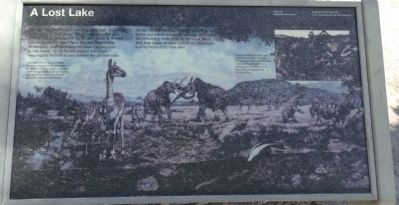
1. A Lost Lake Marker
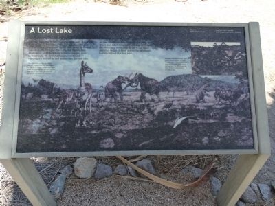
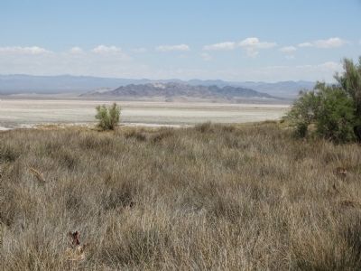
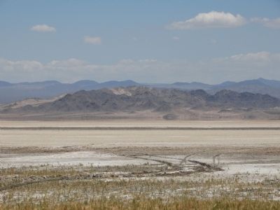
As the climate became warmer and drier, the rivers and lakes eventually dried up, exposing the remaining sediments to the wind. Sand and dust began to blow across the landscape, leaving behind this lost lake.
Erected by Mojave National Preserve, National Park Service, and U.S. Department of the Interior.
Topics. This historical marker is listed in this topic list: Paleontology.
Location. 35° 8.596′ N, 116° 6.195′ W. Marker is near Baker, California, in San Bernardino County. It is on Zzyzx Road 5 miles south of Interstate 15, on the left when traveling south. Located along the trail by the small lake. Touch for map. Marker is in this post office area: Baker CA 92309, United States of America. Touch for directions.

Regionally,
this page online
Other nearby markers. At least 8 other markers are within 10 miles of this marker, measured as the crow flies: A Traveler's Rest (within shouting distance of this marker); The Desert Studies Center (about 400 feet away, measured in a direct line); Soda Springs - Zzyzx Mineral Springs (approx. 0.2 miles away); Zzyzx Mineral Springs Resort (approx. 0.2 miles away); Francis Marion "Borax" Smith (approx. 3.9 miles away); World’s Tallest Thermometer (approx. 8.7 miles away); Bun Boy Restaurant (approx. 8.7 miles away); Marl Springs / Seventeenmile Point (approx. 9.3 miles away). Touch for a list and map of all markers in Baker.
More about this marker. The public is welcome to walk along the trail around the small lake.
Photographed by Craig Baker, April 21, 2023
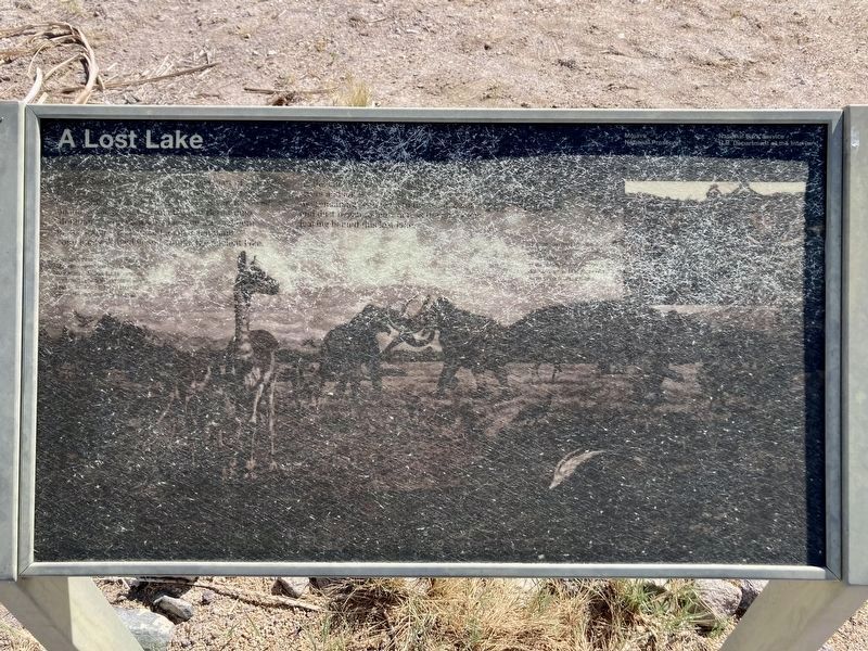
2. A Lost Lake Marker
The marker has faded (in 2023).
Photographed by Denise Boose, May 19, 2015
3. A Lost Lake Marker
Photographed by Denise Boose, May 19, 2015
4. A Lost Lake Marker
Photographed by Denise Boose, May 19, 2015
5. A Lost Lake Marker
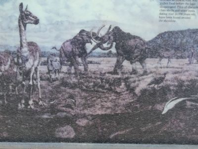
The land around ancient lake Mojave resembled the savannas of modern Africa. Large mammals such as mammoths, ground sloths, and saber-toothed cats thrived along the ancient lakeshore.
Photographed by Denise Boose, May 19, 2015
6. A Lost Lake Marker
Humans arrived to hunt and gather food before the lake disappeared. Piles of discarded clam shells and stone tools dating over 10,000 years old have been found around the shoreline.
Photographed by Denise Boose, May 19, 2015
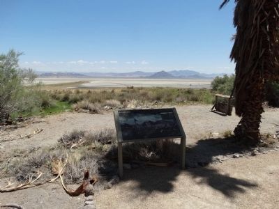
7. View from the Marker
Photographed by Denise Boose, May 19, 2015
8. View from the Marker
Credits. This page was last revised on April 22, 2023. It was originally submitted on May 20, 2015, by Denise Boose of Tehachapi, California. This page has been viewed 2,330 times since then and 92 times this year. Photos: 1. submitted on May 20, 2015, by Denise Boose of Tehachapi, California. 2. submitted on April 22, 2023, by Craig Baker of Sylmar, California. 3, 4, 5, 6, 7, 8. submitted on May 20, 2015, by Denise Boose of Tehachapi, California. • Andrew Ruppenstein was the editor who published this page.
