Near Baker in San Bernardino County, California — The American West (Pacific Coastal)
The Desert Studies Center
Zzyzx
Photographed by Michael Kindig, October 2, 2009
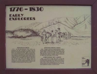
1. Panel 1: 1776 - 1830: Early Explorers
[Panel #1]
1776 - 1830: Early Explorers
this page online
[Panel #2]
1830 - 1860: Pioneers and Settlers
Photographed by Michael Kindig, October 2, 2009
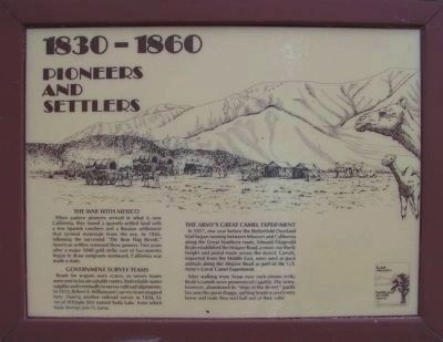
2. Panel 2: 1830 - 1860: Pioneers and Settlers
After walking from Texas over rock-strewn trails, Beale's camels were pronounced capable. The Army, however, abondoned its "ships of the desert," partly because the great shaggy, spitting beasts scared every horse and mule they met half out of their wits!
[Panel #3]
1860 - 1870: Army Outpost
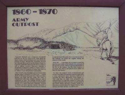
Hancock's Redoubt was a temporary stronghold built here by the U.S. Army in the 1860s along the Mojave Road, which stretched west from Prescott, Arizona Territory, through the mountains, beyond the Colorado River, and across the Mojave Desert to the Cajon Pass. Redoubts offered protection to civilian as well as military travelers. Hancock's Redoubt is mentioned in dispatches written to Major James E. Carlton of the 1st Dragoons at Camp Cady from 1st Lt. Milton T. Carr, Detachment Commander:
"May 1st Left camp at daylight and marched to Soda Springs, where I arrived at 11 o'clock
Photographed by Michael Kindig, October 2, 2009
3. Panel 3: 1860 - 1870: Army Outpost
"June 4th ... Loop-holes are arranged around the top, that men inside of the redoubt can command all the ground around, without exposing themselves to the fire of the Indians. Had the front traverse so arranged, also, that it will afford secure shelter for three or four horses."
By 1867, the original "series of breastworks and corrals" had fallen into disrepair and was replaced by a more substantial stone structure, believed to resemble the above illustration. From August 21, 1867 until May 23, 1868, Army personnel were stationed here as a full-time outpost of Camp Cady, 35 miles to the east. Three
Photographed by Michael Kindig, October 2, 2009
4. Panel 4: 1870 - 1905: Soda Station
[Panel #4]
1870 - 1905: Soda Station
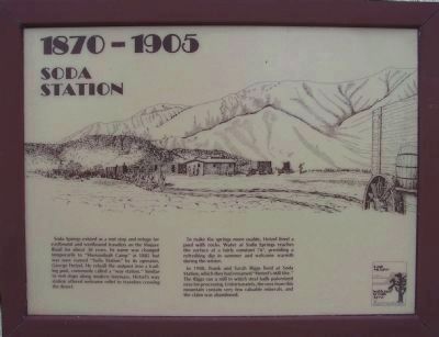
Soda Springs existed as a rest stop and refuge for eastbound and westbound travelers on the Mojave Road for about 30 years. Its name was changed temporarily to "Shenandoah Camp" in 1885 but was soon named "Soda Station" by its operator, George Hetzel. He rebuilt the outpost into a trading post, commonly called a "way station." Similar to rest stops along modern freeways, Hetzel's way station offered welcome relief to travelers crossing the desert.
To make the springs more usable, Hetzel lined a pool with rocks. Water at Soda Springs reaches the surface at a fairly constant 76º, proving a refreshing dip in summer and welcome warmth during the winter.
In 1900, Frank and Sarah Riggs lived at Soda Station, which they had renamed "Hetzel's Mill Site." The Riggs ran a mill in which steel balls pulverized ores for processing. Unfortunately, the ores from this mountain contain very few valuable minerals, and the claim was
Photographed by Michael Kindig, October 2, 2009
5. Panel 5: 1905 - 1916: The Soda Works
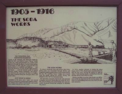
[Panel #5]
1905 - 1916: The Soda Works
The
Photographed by Michael Kindig, October 2, 2009
6. Panel 6: 1916 - 1944: Period of Abandonment
In 1914, another attempt at mining the playa began, but in 1916, flood waters inundated the dry lake for two years, forcing the miners to "pull up stakes." Soda Springs slowly crumbled into the desolate desert from which it came.
Ditches and dikes from the Soda Works can still be seen on the dry lake bed, but the narrow-gauge rails, mine cars and buildings that were once here are now only memories.
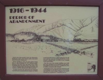
[Panel #6]
1916 - 1944: Period of Abandonment
Desert rains often produce some very destructive floodwaters where, only minutes earlier, dust-devils danced beneath a blazing sun.
Severe flooding in 1916 not only ended mining here, it also inundated the T&T Railroad grade. Between 1910 and 1920, and again in the 1930s, Broadwell Lake, the Mojave River Sink, Silver Lake and the Armagosa River all experienced floods and washouts, and the railroad never fully recovered.
As mines served by the railroad became depleted,
Photographed by Michael Kindig, October 2, 2009
7. Panel 7: 1944 - 1974: Zzyzx Mineral Springs
Over the years, the wooden buildings once built here were salvaged for use elsewhere in the desert. Meanwhile the stone structures crumbled into piles of rubble, overgrown with mesquite.
During these years, a few sportsmen, historians and archaeologists occasionally stopped at Soda Springs and noted the area's resources that would someday be recognized as "something special."
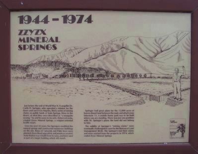
[Panel #7]
1944 - 1974: Zzyzx Mineral Springs
Just before the end of World War II, Evangelist Dr. Curtis H. Springer, who operated a mission for the down-and-out in Los Angeles, filed a series of mining claims on public lands at Soda Springs. Here in the desert, at what they once described as "a mosquito swamp," he and his soon-to-be wife, Helen LeGerda, created Zzyzx Mineral Springs, a religion-oriented health resort.
Over the next 30 years, the Springers modified the natural springs and constructed numerous buildings on
Photographed by Michael Kindig, October 2, 2009
8. Panel 8: 1974 - Present: The Desert Studies Center
Springer had great plans for the 12,800 acres of barren desert land between the oasis and what is now Interstate 15. A mobile home park was to be built where you are standing. There was just one problem with Dr. Springer's plans; the land did not belong to him.
The validity of Springer's "mining claims" were eventually challenged in court by the Bureau of Land Management (BLM). The Springer's lost their claims and were evicted from the property in 1974, which ended Zzyzx Mineral Springs.
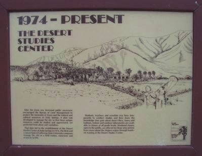
[Panel #8]:
1974 - Present: The Desert Studies Center
After the Zzyzx era, increased public awareness encouraged the Bureau of Land Management to protect the memories of Zzyzx and the natural and cultural resources of Soda Springs. A plan was developed to manage the site so that these unique resources could be studied and appreciated, yet protected from abuse and vandalism.
That plan led to the establishment of the Desert Studies Center
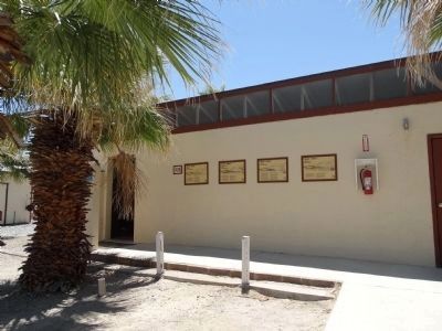
Photographed by Denise Boose, May 19, 2015
9. The Desert Studies Center Marker
Students, teachers and scientists stay here temporarily to conduct studies and then share the knowledge they gain about desert flora, fauna and habitats. Indoor and outdoor laboratories are available to classes of all grade levels. Weekend classes, open to the public, are offered for those who wish to learn more about the Mojave region through hands-on training at the Desert Studies Center.
Erected by Bureau of Land Management.
Topics and series. This historical marker is listed in these topic lists: Forts and Castles • Industry & Commerce • Settlements & Settlers • War, Mexican-American. In addition, it is included in the Mojave Road (Old Government Road) series list. A significant historical month for this entry is May 1997.
Location. 35° 8.552′ N, 116° 6.26′ W. Marker is near Baker, California, in San Bernardino County. It is on Zzyzx Road 5 miles south of Interstate 15, on the left when traveling south. Located on the north wall of the restrooms at the Desert
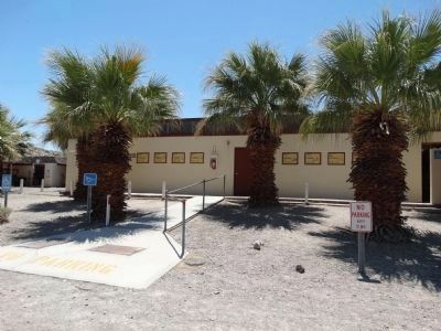
Photographed by Denise Boose, May 19, 2015
10. The Desert Studies Center Marker

Regionally, this marker is in Greater Los Angeles, in the Mojave Desert, in the Peninsular Ranges, and specifically in the Transverse Ranges. It is also in the American Southwest. Globally, it is in North America, on the Ring of Fire, in the Pacific Rim, in the Western Hemisphere, in the Western World, and in the Anglosphere. Historically, it finds itself in what was once New Spain and also Mexico’s Alta California.
Other nearby markers. At least 8 other markers are within 10 miles of this marker, measured as the crow flies: A Traveler's Rest (about 300 feet away, measured in a direct line); A Lost Lake (about 400 feet away); Soda Springs - Zzyzx Mineral Springs (about 600 feet away); Zzyzx Mineral Springs Resort (approx. 0.2 miles away); Francis Marion "Borax" Smith (approx. 3.9 miles away); World’s Tallest Thermometer (approx. 8.8 miles away); Bun Boy Restaurant (approx. 8.8 miles away); Marl Springs / Seventeenmile Point (approx. 9.3 miles away). Touch for a list and map of all markers
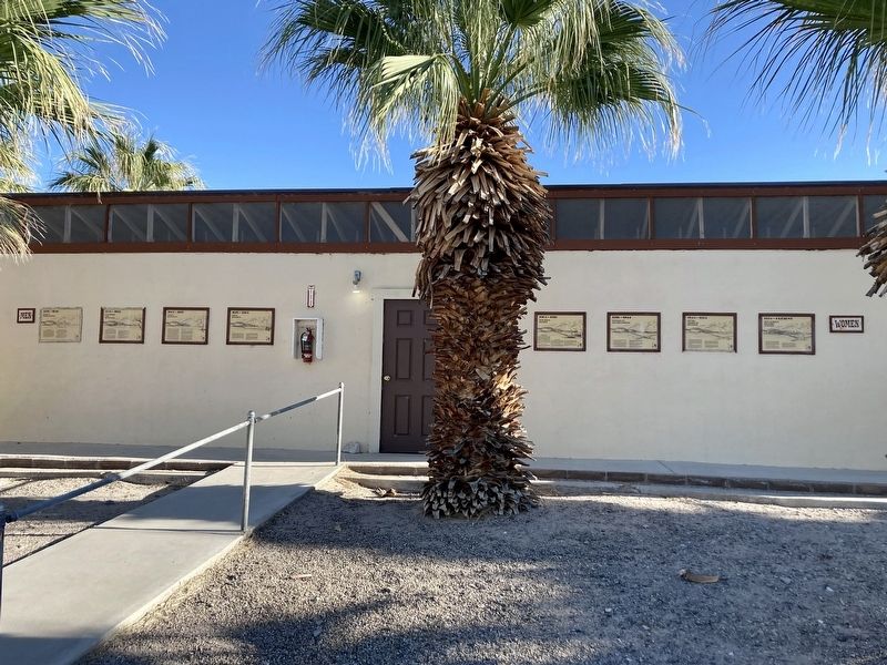
Photographed by Craig Baker, April 21, 2023
11. The Desert Studies Center Markers
These markers have not faded in the desert heat.
More about this marker. This restroom building is only open to attendees of events at the center. The public is welcome to walk along the trail around the small lake nearby.
Also see . . . Desert Studies Center. (Submitted on January 10, 2012, by Michael Kindig of Elk Grove, California.)
Credits. This page was last revised on April 22, 2023. It was originally submitted on January 9, 2012, by Michael Kindig of Elk Grove, California. This page has been viewed 1,409 times since then and 79 times this year. Last updated on May 22, 2015, by J. Makali Bruton of Washington, District of Columbia. Photos: 1, 2, 3, 4, 5, 6, 7, 8. submitted on January 9, 2012, by Michael Kindig of Elk Grove, California. 9, 10. submitted on May 19, 2015, by Denise Boose of Tehachapi, California. 11. submitted on April 22, 2023, by Craig Baker of Sylmar, California. • Andrew Ruppenstein was the editor who published this page.
