Weedsport in Cayuga County, New York — The American Northeast (Mid-Atlantic)
Firehouse
Photographed by Anton Schwarzmueller, May 16, 2015
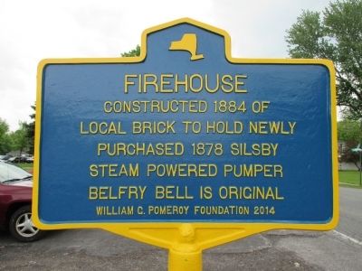
1. Firehouse Marker
constructed 1884 of
local brick to hold newly
purchased 1878 Silsby
steam powered pumper.
Belfry bell is original.
Erected 2014 by William G. Pomeroy Foundation.
Topics and series. This historical marker is listed in this topic list: Notable Buildings. In addition, it is included in the William G. Pomeroy Foundation series list. A significant historical year for this entry is 1884.
Location. 43° 2.845′ N, 76° 33.669′ W. Marker is in Weedsport, New York, in Cayuga County. It is at the intersection of South Street (County Route 128) and Liberty Street, on the left when traveling south on South Street. Marker is at the south end of the parking lot. Touch for map. Marker is at or near this postal address: 8892 South Street, Weedsport NY 13166, United States of America. Touch for directions.

Regionally, this marker is in Upstate New York, specifically in Central New York, and in the Syracuse Metropolitan Area. It is also in the American Northeast and in the Mid-Atlantic. Globally, it is in North America, the Western Hemisphere, the Western World, and the Anglosphere. Historically, it finds itself in
this page online
Other nearby markers. At least 8 other markers are within walking distance of this marker: First Baptist Church of Weedsport (within shouting distance of this marker); Weed's Basin (about 600 feet away, measured in a direct line); Town of Brutus (approx. 0.2 miles away); Tug Boat Marion (approx. 0.2 miles away); God's Acre (approx. 0.3 miles away); Cayuga County Veterans Memorial (approx. 0.8 miles away); The Erie Canal (approx. 0.8 miles away); a different marker also named The Erie Canal (approx. 0.8 miles away). Touch for a list and map of all markers in Weedsport.
Photographed by Anton Schwarzmueller, May 16, 2015
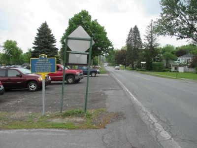
2. Southward
Photographed by Anton Schwarzmueller, May 16, 2015
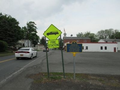
3. Northward
Firehouse in background.
Photographed by Anton Schwarzmueller, May 16, 2015
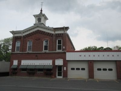
4. Firehouse
Credits. This page was last revised on June 20, 2016. It was originally submitted on May 26, 2015, by Anton Schwarzmueller of Wilson, New York. This page has been viewed 525 times since then and 19 times this year. Photos: 1, 2, 3, 4. submitted on May 26, 2015, by Anton Schwarzmueller of Wilson, New York.
