Near Manassas in Prince William County, Virginia — The American South (Mid-Atlantic)
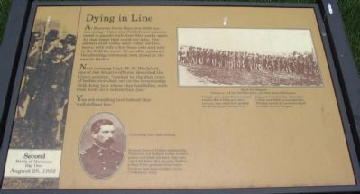
Dying in Line
Second Battle of Manassas
— Day One - August 28, 1862 —
Next morning Capt. W.W. Blackford, one of Jeb Stuart's officers, described the Union position, "marked by the dark rows of bodies stretched out of the broomsedge field, lying just where they had fallen, with their heels on a well-defined line."
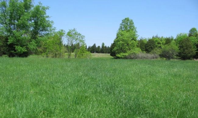
You are standing just behind that "well-defined line."
Topics. This historical marker is listed in this topic list: War, US Civil.
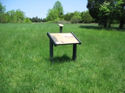
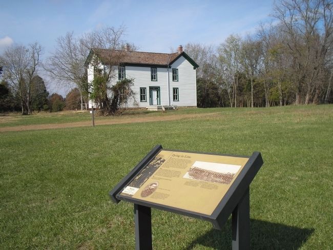
Location. This marker has been replaced by another marker nearby. It was located near 38° 48.783′ N, 77° 33.884′ W. Marker was near Manassas, Virginia, in Prince William County. Marker could be reached from Pageland Lane (County Route 705) 0.7 miles north of Lee Highway (U.S. 29), on the right when traveling north. Located on the Brawner Farm Loop Trail, Manassas National Battlefield Park. Touch for map. Marker was in this post office area: Manassas VA 20109, United States of America. Touch for directions.
Other nearby markers. At least 8 other markers are within walking distance of this location. 19th Indiana Infantry (here, next to this marker); A Stand Up Fight (here, next to this marker); Jackson Opens Fire (within shouting distance of this marker); Archeology at Brawner Farm (within shouting distance of this marker); Jackson Strikes (about 300 feet away, measured in a direct line); 2nd Wisconsin Infantry (about 400 feet away); First Brigade (about 500 feet away); Shooting Gallery (about 500 feet away).
More about this marker. In the lower center of the marker is a portrait of Union Brig. Gen. John Gibbon with the caption, Because General Gibbon outfitted his Wisconsin and Indiana troops in white gaiters and black felt hats, they were called the Black Hat Brigade. Gibbon, a West Point graduate from North Carolina, had three brothers in the Confederate Army.
A photo of the Black Hat Brigade, Company I of the 7th Wisconsin, just after Second Manassas, in the upper right is described, Though most of the Wisconsin and Indiana Black Hats were fresh recruits, they stood their ground; for all they knew, combat was supposed to be line this. More than a third were killed or wounded here. Within a month the survivors would be called the Iron Brigade.
This marker was replaced by a new marker titled "A Stand up Fight". See nearby markers.
Photographed By Craig Swain, May 4, 2008
4. The Iron Brigade Battle Line
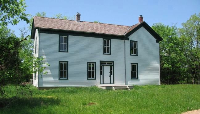
Gibbon's Brigade formed a line across the fields near the Brawner Farm on August 28, 1862. In what is sometimes called the Battle of Grovetown, Gibbon's Brigade of King's division (1st Division, III Corps) encountered General "Stonewall" Jackson's forces.
Credits. This page was last revised on June 16, 2016. It was originally submitted on June 19, 2008, by Craig Swain of Leesburg, Virginia. This page has been viewed 1,642 times since then and 16 times this year. Photos: 1, 2. submitted on June 19, 2008, by Craig Swain of Leesburg, Virginia. 3. submitted on January 11, 2009, by Bill Coughlin of Woodland Park, New Jersey. 4. submitted on June 19, 2008, by Craig Swain of Leesburg, Virginia. 5. submitted on June 21, 2008, by Craig Swain of Leesburg, Virginia.
