West Pennsboro Township near Carlisle in Cumberland County, Pennsylvania — The American Northeast (Mid-Atlantic)
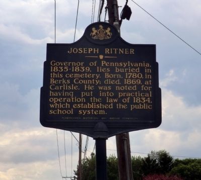
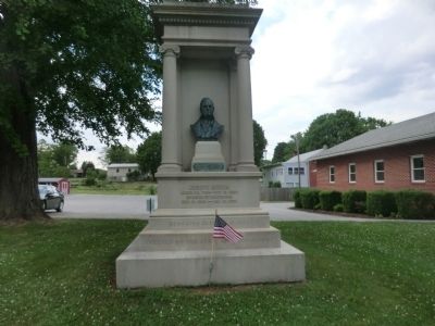
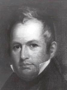
Joseph Ritner
Erected 1951 by Pennsylvania Historical & Museum Commission.
Topics and series. This historical marker is listed in these topic lists: Education • Government & Politics. In addition, it is included in the Pennsylvania Historical and Museum Commission series list. A significant historical year for this entry is 1780.
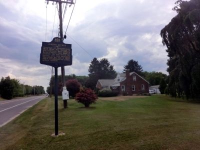
Location. 40° 9.602′ N, 77° 19.191′ W. Marker is near Carlisle, Pennsylvania, in Cumberland County. It is in West Pennsboro Township. Marker is on Ritner Highway just west of Mt. Rock Road. Touch for map. Marker is at or near this postal address: 2825 Ritner Hwy, Carlisle PA 17015, United States of America. Touch for directions.
Other nearby markers. At least 8 other markers are within 5 miles of this marker, measured as the crow flies. Plainfield Service Plaza, 1940-2011 (approx. 3.6 miles away); Laughlin Mill (approx. 4.1 miles away); Newville (approx. 4.1 miles away); William Denning (approx. 4.1 miles away); Revolutionary War Soldiers Buried in Big Springs Presbyterian Church Cemetery (approx. 4.2 miles away); Big Spring Presbyterian Church (approx. 4.2 miles away); The First National Bank of Newville (approx. 4.3 miles away); Newville War Memorial (approx. 4.3 miles away).
Also see . . . Joseph Ritner. Wikipedia biography. (Submitted on June 5, 2020, by Larry Gertner of New York, New York.)
Credits. This page was last revised on February 7, 2023. It was originally submitted on June 3, 2015, by Don Morfe of Baltimore, Maryland. This page has been viewed 490 times since then and 22 times this year. Photos: 1, 2, 3. submitted on June 3, 2015, by Don Morfe of Baltimore, Maryland. 4. submitted on June 5, 2020, by Larry Gertner of New York, New York. • Bill Pfingsten was the editor who published this page.


