
New Hempstead in Rockland County, New York — The American Northeast (Mid-Atlantic)
Shady Side Farm
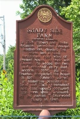
Photographed by Manuel P. Guevara, circa 2012
1. Shady Side Farm Marker
Erected by The Historical Society of Rockland County.
Topics. This historical marker is listed in this topic list: Notable Buildings. A significant historical year for this entry is 1826.
Location. 41° 9.067′ N, 74° 2.919′ W. Marker is in New Hempstead, New York, in Rockland County. It is on New Hempstead Rd.. Touch for map. Marker is at or near this postal address: 670 New Hempstead Rd, Spring Valley NY 10977, United States of America. Touch for directions.

Regionally, this marker is in the Hudson Valley and in the New York City Metropolitan Area. It is also in the American Northeast, in the Mid-Atlantic, and on the Eastern Seaboard. Globally, it is in the North Atlantic Region, North America, the Western Hemisphere, the Western World, and the Anglosphere. Historically, it finds itself in what was once New Netherland and also one of the original Thirteen Colonies.
Other nearby markers. At least 8 other markers are within 2 miles of this marker, measured as the crow flies: The English Meeting House (approx. 0.8 miles away); New Hempstead Presbyterian Church (approx. 0.9 miles away); First Town Hall (approx. 1.1 miles away); Reformed Protestant Dutch Church of Kakeath (approx. 1.1 miles away); Brick Church (approx. 1.1 miles away); 1700 Cemetery (approx. 1.1 miles away); 1786 Schoolhouse (approx. 1.1 miles away); Daniel Carter Beard (approx. 1.2 miles away).
More about this marker.
this page online
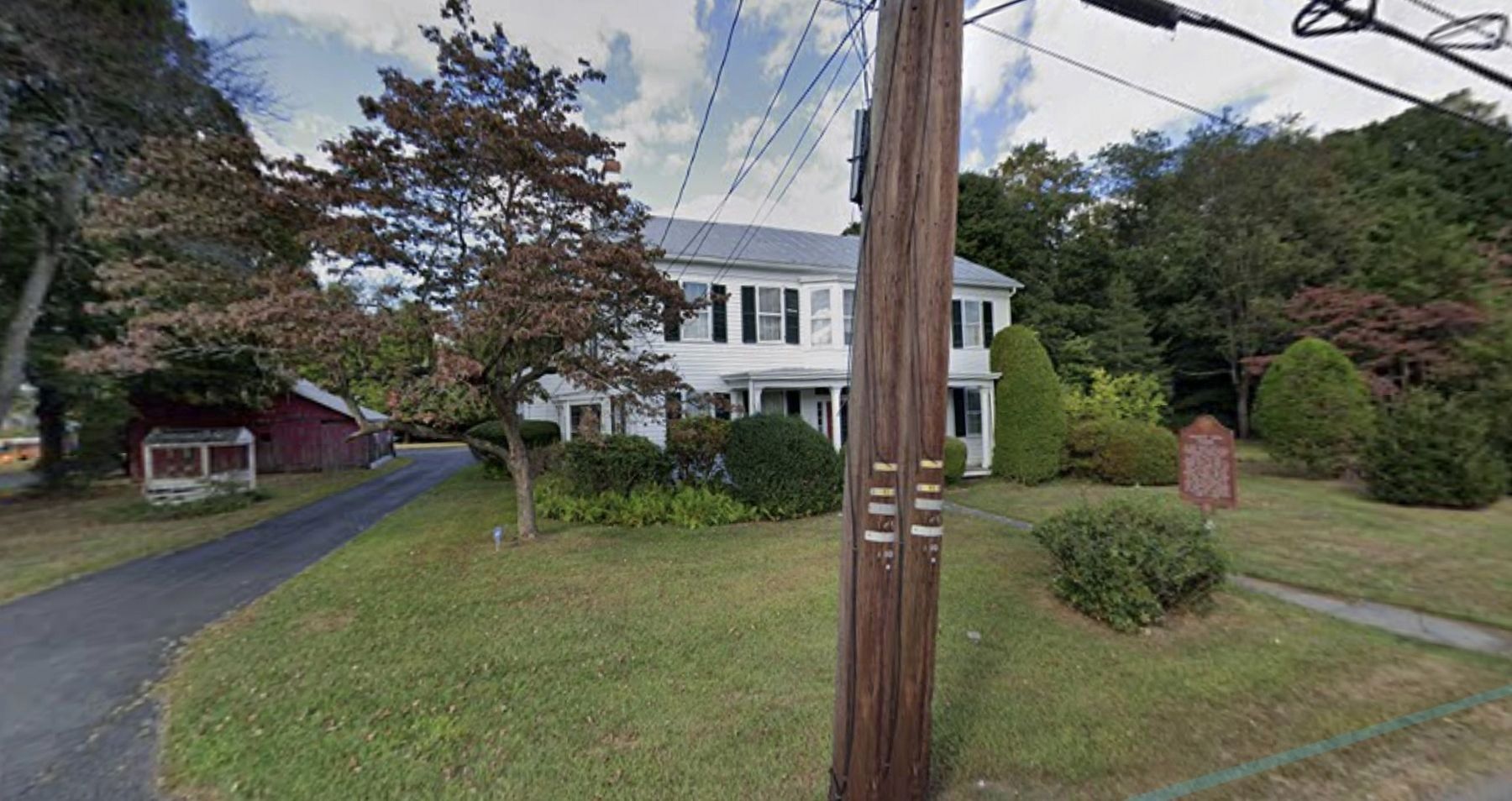
July 27, 2020
2. Shady Side Farm and Marker
Credits. This page was last revised on July 27, 2020. It was originally submitted on June 3, 2015, by The Historical Society of Rockland County of New City, New York. This page has been viewed 1,423 times since then and 52 times this year. Photos: 1. submitted on June 6, 2015, by The Historical Society of Rockland County of New City, New York. 2. submitted on July 27, 2020. • Bill Pfingsten was the editor who published this page.
