Near Newport in Craig County, Virginia — The American South (Mid-Atlantic)
Craig County
Area 333 square miles
⎯⎯⎯
Giles County
Area 369 square miles
Photographed by J. J. Prats, May 30, 2015
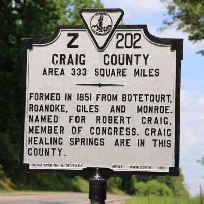
1. Craig County Face of Marker
Craig County. Area 333 square miles. Formed in 1851 from Botetourt, Roanoke, Giles and Monroe. Named for Robert Craig, member of Congress. Craig Healing Springs are in this county.
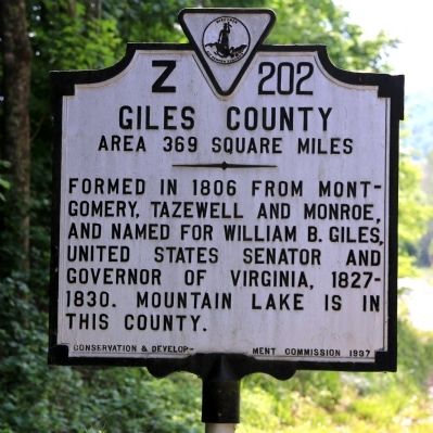
Giles County. Area 369 square miles. Formed in 1806 from Montgomery, Tazewell and Monroe, and named for William B. Giles, United States Senator and Governor of Virginia, 1827–1830. Mountain lake is in this County.
Erected 1937 by Conservation and Development Commission. (Marker Number Z-202.)
Topics and series. This historical marker is listed in this topic list: Political Subdivisions. In addition, it is included in the Virginia Department of Historic Resources (DHR) series list. A significant historical year for this entry is 1851.
Location. 37° 19.657′ N, 80° 26.796′ W. Marker is near Newport, Virginia, in Craig County. It is on Blue Grass Trail (Virginia Route 42) just north of County Route 770, on the right when traveling north. Touch for map. Marker is at or near this postal address: 1833 Blue Grass Tr, Newport VA 24128, United States of America. Touch for directions.

Regionally, this marker is in the Mountain Region and in Southwest
this page online
Other nearby markers. At least 8 other markers are within 7 miles of this marker, measured as the crow flies: Virginia Polytechnic Institute and State University (approx. 3.2 miles away); Giles County / Montgomery County (approx. 3.4 miles away); Captain (approx. 4½ miles away); Gravel Hill Christian Church (approx. 6.3 miles away); Frederick Dewey Durham (approx. 6.8 miles away); To the Memory of the Confederate Dead (approx. 6.8 miles away); Westview Cemetery (approx. 6.8 miles away); Lingan Strother Randolph (approx. 6.9 miles away).
Photographed by J. J. Prats, May 30, 2015
2. Giles County Face of Marker
Photographed by J. J. Prats, May 30, 2015
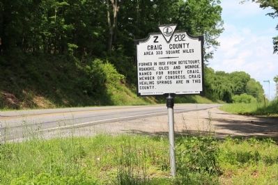
3. Craig County / Giles County Marker
Photographed by J. J. Prats, May 30, 2015
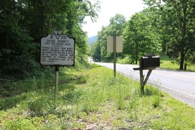
4. Craig County / Giles County Marker
Credits. This page was last revised on April 27, 2026. It was originally submitted on June 5, 2015, by J. J. Prats of Powell, Ohio. This page has been viewed 506 times since then and 29 times this year. Photos: 1, 2, 3, 4. submitted on June 5, 2015, by J. J. Prats of Powell, Ohio.
