Brewerton in Oswego County, New York — The American Northeast (Mid-Atlantic)
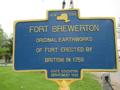
Fort Brewerton
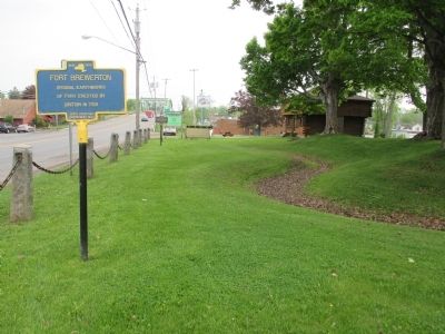
Original earthworks
of fort erected by
British in 1759
Erected 1932 by New York State Education Department.
Topics. This historical marker is listed in this topic list: Forts and Castles. A significant historical year for this entry is 1759.
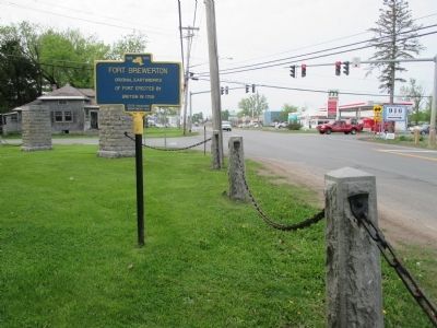
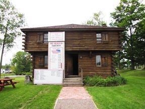
Location. 43° 14.53′ N, 76° 8.458′ W. Marker is in Brewerton, New York, in Oswego County. Marker is at the intersection of Brewerton Road (U.S. 11) and County Route 37, on the left when traveling north on Brewerton Road. Marker is at Fort Brewerton State Park. Touch for map. Marker is in this post office area: Brewerton NY 13029, United States of America. Touch for directions.
Other nearby markers. At least 8 other markers are within 5 miles of this marker, measured as the crow flies. Oliver Stevens (a few steps from this marker); a different marker also named Oliver Stevens (within shouting distance of this marker); Near This Spot (about 300 feet away, measured in a direct line); Techiroguen (approx. 0.2 miles away); Early School (approx. 0.9 miles away); Oak Orchard (approx. 4 miles away); Cigarville Station (approx. 4.2 miles away); Childhood Home (approx. 4.2 miles away). Touch for a list and map of all markers in Brewerton.
Also see . . .
1. Fort Brewerton, New York. Legends of America website entry (Submitted on December 19, 2023, by Larry Gertner of New York, New York.)
2. Fort Brewerton. Wikipedia entry (Submitted on December 19, 2023, by Larry Gertner of New York, New York.)
Credits. This page was last revised on December 19, 2023. It was originally submitted on June 6, 2015, by Anton Schwarzmueller of Wilson, New York. This page has been viewed 497 times since then and 28 times this year. Photos: 1, 2, 3. submitted on June 6, 2015, by Anton Schwarzmueller of Wilson, New York. 4. submitted on December 18, 2021, by Larry Gertner of New York, New York.


