
Santa Rita Park in Tucson in Pima County, Arizona — The American Mountains (Southwest)
Santa Cruz Church
Photographed by J. Makali Bruton, June 8, 2015
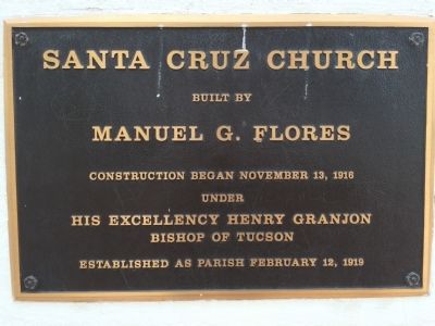
1. Santa Cruz Church Marker
built by
Manuel G. Flores
Construction began November 13, 1916
under
His excellency Henry Granjon
Bishop of Tucson
Established as parish February 12, 1919
Topics. This historical marker is listed in this topic list: Religion & Religious Structures. A significant historical date for this entry is February 12, 1863.
Location. 32° 12.4′ N, 110° 58.131′ W. Marker is in Tucson, Arizona, in Pima County. It is in Santa Rita Park. It is on West 22nd Street. Touch for map. Marker is at or near this postal address: 1220 South 6th Avenue, Tucson AZ 85713, United States of America. Touch for directions.

Regionally, this marker is in Arizona’s Sky Islands, in the Sonoran Desert, and in the Phoenix Metropolitan Area. It is also in the American Southwest. Globally, it is in North America, the Western Hemisphere, the Western World, and the Anglosphere. Historically, it finds itself in what was once New Spain and also the Gadsden Purchase.
Other nearby markers. At least 8 other markers are within walking distance of this marker: One Story from the Barrio Viejo (approx. 0.4 miles away); El Parque de Orlando y Diego Mendoza
this page online
Photographed by J. Makali Bruton, June 8, 2015
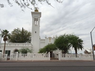
2. Wide view of Santa Cruz Church Marker
The marker can be seen at the base of the church to the right of the front entrance.
Photographed by J. Makali Bruton, June 8, 2015
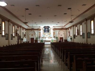
3. Santa Cruz Church interior
Photographed by J. Makali Bruton, June 8, 2015
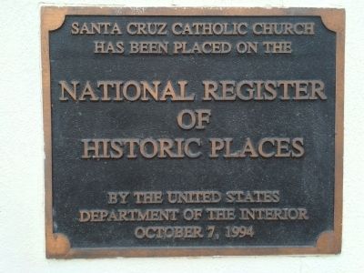
4. Additional Santa Cruz Church Marker
Santa Cruz Catholic Church has been placed on the National Register of Historic Places by the United States Department of the Interior October 7, 1994
Photographed by J. Makali Bruton, June 8, 2015
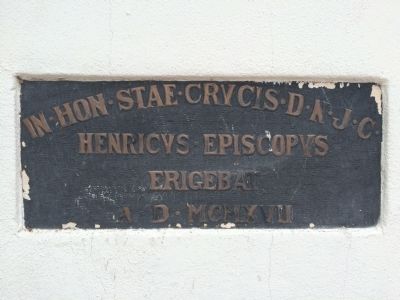
5. Santa Cruz Church additional marker
In∙hon∙stae∙crucis∙D∙N∙J∙C∙Henricus∙Episcopys erigebat A∙D∙MCMXVII
Credits. This page was last revised on September 14, 2021. It was originally submitted on June 8, 2015, by J. Makali Bruton of Washington, District of Columbia. This page has been viewed 846 times since then and 37 times this year. Photos: 1, 2, 3, 4, 5. submitted on June 8, 2015, by J. Makali Bruton of Washington, District of Columbia. • Andrew Ruppenstein was the editor who published this page.
