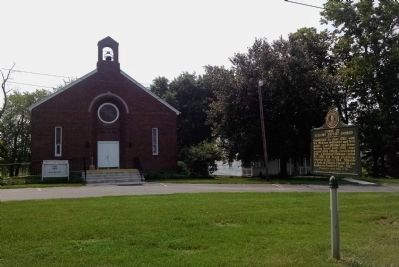
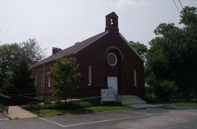
Forks of Elkhorn Baptist Church
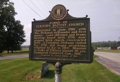
Presented by church family of 1998.
Erected 1998 by Kentucky Historical Society, Kentucky Department of Highways. (Marker Number 2003.)
Topics and series. This historical marker is listed in this topic list: Religion & Religious Structures. In addition, it is included in the Kentucky Historical Society series list. A significant historical month for this entry is June 1788.
Location. 38° 10.273′ N, 84° 46.922′ W. Marker is near Midway, Kentucky, in Woodford County. It is on Duckers Road 0.8 miles south of Leestown Road (U.S. 421), on the left when traveling south. Touch for map. Marker is at or near this postal address: 500 Duckers Road, Midway KY 40347, United States of America. Touch for directions.
Regionally, this marker is in the Bluegrass Region and in Greater Lexington
this page online
Other nearby markers. At least 8 other markers are within 5 miles of this marker, measured as the crow flies: Buena Vista / Todd House (approx. 0.9 miles away); Lexington & Ohio R.R. (approx. 2.2 miles away); Labrot & Graham Distillery (approx. 2.4 miles away); Millville Christian Church (approx. 3.2 miles away); Kentucky African American Civil War Memorial (approx. 3.8 miles away); Kentucky's United States Colored Troops (approx. 3.8 miles away); KY African American Civil War Memorial — Greenhill Cemetery (approx. 3.9 miles away); a different marker also named Labrot & Graham Distillery (approx. 4.3 miles away).
Credits. This page was last revised on June 16, 2016. It was originally submitted on June 9, 2015, by Dave Knoch of Scott County, Kentucky. This page has been viewed 1,029 times since then and 74 times this year. Photos: 1, 2, 3. submitted on June 9, 2015, by Dave Knoch of Scott County, Kentucky. • Bill Pfingsten was the editor who published this page.
