Oakhurst in Madera County, California — The American West (Pacific Coastal)
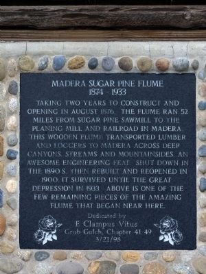
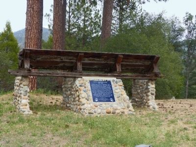
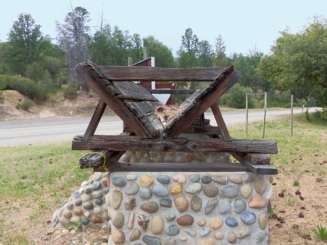
Madera Sugar Pine Flume
Erected 1998 by The Grub Gulch Chapter of E. Clampus Vitus.
Topics and series. This historical marker is listed in these topic lists: Horticulture & Forestry • Industry & Commerce. In addition, it is included in the E Clampus Vitus series list. A significant historical year for this entry is 1876.
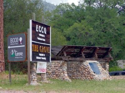
Location. 37° 22.574′ N, 119° 37.575′ W. Marker is in Oakhurst, California, in Madera County. Marker is at the intersection of California Route 41 and Cain Drive, on the right when traveling north on State Route 41. Marker is 3 miles north of Oakhurst on Highway 41. Touch for map. Marker is in this post office area: Oakhurst CA 93644, United States of America. Touch for directions.
Other nearby markers. At least 8 other markers are within 4 miles of this marker, measured as the crow flies. Gold Rush Entertainment Lives On (approx. 1.3 miles away); Bissett Station (approx. 1.8 miles away); Giant Sequoia Cutting (approx. 3 miles away); Little Church on the Hill (approx. 3.1 miles away); Oakhurst Centennial (approx. 3.3 miles away); Highway 49 - The Golden Chain (approx. 3˝ miles away); Old French Trail (approx. 3.7 miles away); Fresno Flats Townsite (approx. 3.7 miles away). Touch for a list and map of all markers in Oakhurst.
Also see . . . "Sugar Pine Lumber Company & Madera Flume" by Linda Gast. Yosemite This Year entry (Submitted on January 3, 2021, by Larry Gertner of New York, New York.)
Credits. This page was last revised on January 3, 2021. It was originally submitted on June 20, 2015, by Allen C. Browne of Silver Spring, Maryland. This page has been viewed 984 times since then and 62 times this year. Photos: 1, 2, 3, 4. submitted on June 20, 2015, by Allen C. Browne of Silver Spring, Maryland. • Bill Pfingsten was the editor who published this page.


