Near Waterloo in Lauderdale County, Alabama — The American South (East South Central)
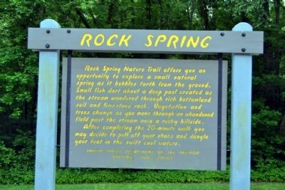
Rock Spring
After completing the 20-minute walk you may decide to pull off your shoes and dangle your feet in the swift cool waters.
Erected by National Park Service.
Topics and series. This historical marker is listed in this topic list: Natural Features. In addition, it is included in the Natchez Trace series list.
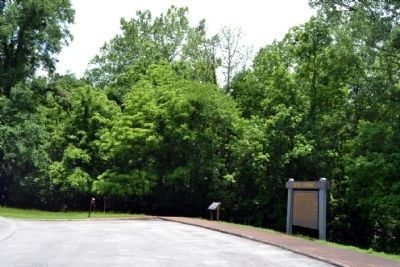
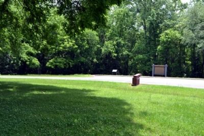
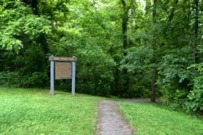
Location. 34° 51.475′ N, 87° 54.335′ W. Marker is near Waterloo, Alabama, in Lauderdale County. Marker can be reached from Natchez Trace Parkway (at milepost 330.2), 1.4 miles north of County Road 2, on the right when traveling north. Marker is located at the Rock Spring turnout. Touch for map. Marker is in this post office area: Waterloo AL 35677, United States of America. Touch for directions.
Other nearby markers. At least 8 other markers are within 3 miles of this marker, measured as the crow flies. Tiny Jewels of the Air (a few steps from this marker); General John Coffee (within shouting distance of this marker); Driven Up The Waters (approx. 1.6 miles away); Wilson's Headquarters and Camp (approx. 1.8 miles away); Colbert Ferry (approx. 2½ miles away); Safe Crossing (approx. 2½ miles away); Wet, Wild, and Wonderful (approx. 2.6 miles away); Welcome! (approx. 2.6 miles away). Touch for a list and map of all markers in Waterloo.
Also see . . . Natchez Trace. Official National Park Service website. (Submitted on June 25, 2015.)
Credits. This page was last revised on June 16, 2016. It was originally submitted on June 25, 2015, by Duane Hall of Abilene, Texas. This page has been viewed 700 times since then and 40 times this year. Photos: 1, 2, 3, 4. submitted on June 25, 2015, by Duane Hall of Abilene, Texas.


