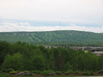
Near Wausau in Marathon County, Wisconsin — The American Midwest (Great Lakes)
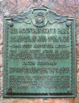
Rib Mountain State Park
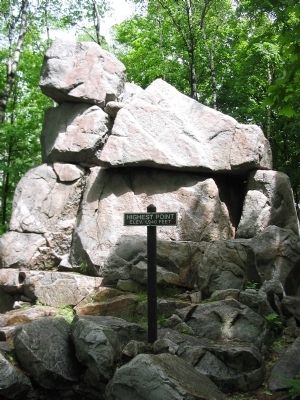
highest known point in the state
–1940 feet above sea level–
This land, forty acres in area,
was presented to the commonwealth
on January 26, 1923, by the estate of
Jacob Gensman
The park was enlarged to 160 acres
by the Kiwanis Club of Wausau
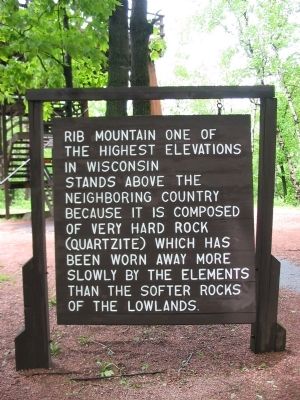
This area was originally sandy beach
swept by the ocean. The sand was
finally hardened to quartzite rock
and by [slow] upheaval tilted on edge
and raised to its present height
Topics. This historical marker is listed in this topic list: Natural Features. A significant historical month for this entry is January 1886.
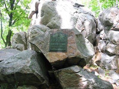
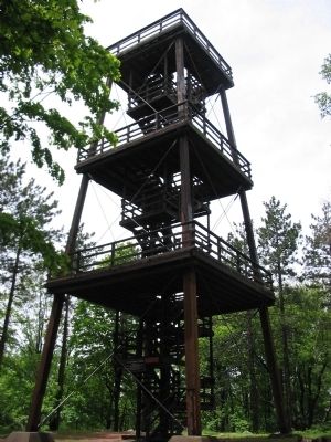
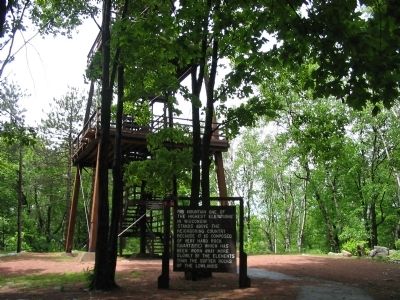
Location. 44° 55.24′ N, 89° 41.678′ W. Marker is near Wausau, Wisconsin, in Marathon County. Marker can be reached from Park Road west of County Highway N. Marker is in Rib Mountain State Park (fee area). The plaque is mounted on the highest quartzite knob east of the observation tower. Touch for map. Marker is at or near this postal address: 4200 Park Road, Wausau WI 54401, United States of America. Touch for directions.
Other nearby markers. At least 8 other markers are within 4 miles of this marker, measured as the crow flies. To Charles E. Parker (a few steps from this marker); Ancient Ripples (a few steps from this marker); Monadnocks (within shouting distance of this marker); a different marker also named Rib Mountain State Park (about 300 feet away, measured in a direct line); Mountain View (approx. 0.2 miles away); The Pineries (approx. half a mile away); First Teachers Training School in Wisconsin (approx. 3.6 miles away); Historical Memorial Park (approx. 4 miles away). Touch for a list and map of all markers in Wausau.
Regarding Rib Mountain State Park. Rib Mountain was long thought to be the highest point in Wisconsin before it was displaced by Timm's Hill. Timm's Hill, located in the southern part of Price County, is the highest geographical point in Wisconsin, with an elevation 1951.5 feet above sea level. The second highest geological point in Wisconsin, Pearson Hill, is approximately a ½ mile to the southeast with an elevation of 1950.8 feet.
Credits. This page was last revised on March 24, 2021. It was originally submitted on June 22, 2008, by Keith L of Wisconsin Rapids, Wisconsin. This page has been viewed 3,385 times since then and 69 times this year. Photos: 1, 2, 3. submitted on June 22, 2008, by Keith L of Wisconsin Rapids, Wisconsin. 4. submitted on June 27, 2008, by Keith L of Wisconsin Rapids, Wisconsin. 5, 6. submitted on June 22, 2008, by Keith L of Wisconsin Rapids, Wisconsin. 7, 8, 9. submitted on June 27, 2008, by Keith L of Wisconsin Rapids, Wisconsin. • J. J. Prats was the editor who published this page.
