Archea Korinthos in Korinthos, Peloponnese Western Greece and the Ionian, Greece — Ελλάδα (Southeastern Europe, Balkan Peninsula)
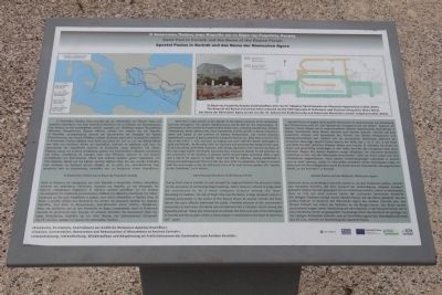
Saint Paul in Corinth and the Bema of the Roman Forum
Photographed by Dale K. Benington, June 22, 2015
1. Saint Paul in Corinth and the Bema of the Roman Forum Marker
this page online
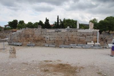
During Paul's stay in Corinth, he was brought for judgment before the proconsul Gallio on the accusation of conducting illegal teachings. Gallio, however, refused to judge what he considered to be a mere religious dispute among the Jews. According to tradition, the site of Paul's trial was the Bema, a large elevated rostrum standing prominently in the centre of the Roman forum of ancient Corinth and from where the city's officials addressed the public. Probably because of the monument's connection to Saint Paul, the Bema was transformed into a Christian church during the Byzantine period. Today, the monument constitutes the historical seat of the Metropolis of Corinth and the location where a Great Vesper is conducted on the feast of Saint Paul (29th June).
Topics. This historical marker is listed in this topic list: Religion & Religious Structures.
Location. 37° 54.302′ N, 22° 52.821′ E. Marker is in Archea Korinthos,
Photographed by Dale K. Benington, June 22, 2015
2. Saint Paul in Corinth and the Bema of the Roman Forum Marker
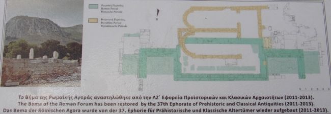
Close-up view, that is displayed on the marker, of an illustration, showing the floor plans of the ruins of the Bema of the Roman Forum, with the areas shaded in light green representing the Roman Period ruins and the areas shaded in light yellow representing the Byzantine Period ruins.

Regionally, it is in Europe, the European Union, the Schengen Area, a coastal Mediterranean country, and the Western World. Historically, it finds itself in what was once the Byzantine Empire, the Ottoman Empire, and specifically the Roman Empire.
Other nearby markers. At least 8 other markers are within walking distance of this marker: The Rostra (Bema) of the Roman Forum (a few steps from this marker); The Heroon at the Crossroads: an early sanctuary of Ancient Corinth (within shouting distance of this marker); South Stoa (within shouting distance of this marker); Lechaion Road (within shouting distance of this marker); Peirene Fountain (about 90 meters away, measured in a direct
Photographed by Dale K. Benington, June 22, 2015
3. Saint Paul in Corinth and the Bema of the Roman Forum Marker
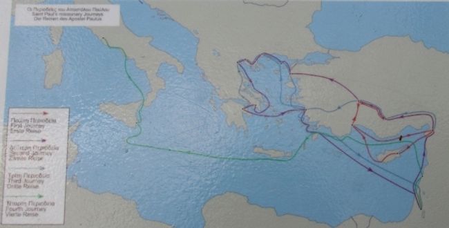
Close-up view, that is displayed on the marker, of a map showing the missionary journeys of Saint Paul.
More about this marker. With regards to the location of all of the markers in the Archaeological Park of Ancient Corinth, when going online and researching directional information, I could not locate any websites, or any online maps, that provided the names of the local streets, so it was difficult for me to provide accurate and detailed directional information. The street and crossroad that I have provided are the closest two "named" streets that I could locate on any of the maps that I used.
One online site provided the following directions for getting to the archaeological park: "By car: 90 minutes from Athens. The exit to Ancient Corinth, approaching from the north, is about 2 kilometers west of the Tripolis interchange. Warning: visitors familiar with the village before 1996 should take the Patras interchange not the new Tripolis highway to arrive from the other side of the village; no exit was constructed and a U-turn cannot be made for ten kilometers."
Related markers.
Photographed by Dale K. Benington, June 22, 2015
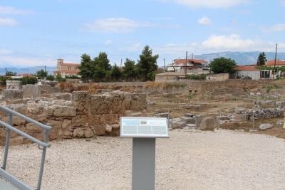
4. Saint Paul in Corinth and the Bema of the Roman Forum Marker
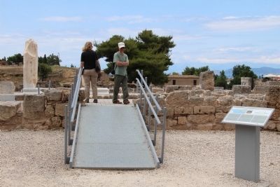
View of the marker situated next to the ramp that allows visitors to the archaeological park to go and walk across the top of the Bema of the Roman Forum.
Photographed by Dale K. Benington, June 22, 2015
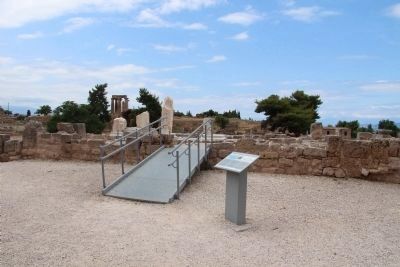
5. Saint Paul in Corinth and the Bema of the Roman Forum Marker
View of the marker with the ruins of the eastern end of the Roman Forum in the background.
Photographed by Dale K. Benington, June 22, 2015
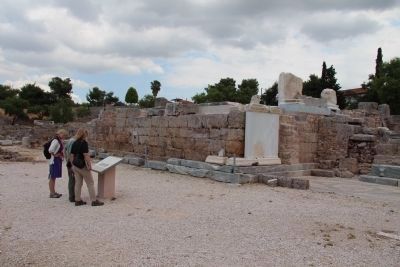
6. Saint Paul in Corinth and the Bema of the Roman Forum Marker
View, from the upper forum level, of the marker with the Bema of the Roman Forum in the immediate background, and the ruins of the Temple of Apollo in the distant background.
Photographed by Dale K. Benington, June 22, 2015
7. The Bema of the Roman Forum
View, from the lower forum level, of the Bema of the Roman Forum.
Photographed by Dale K. Benington, June 22, 2015
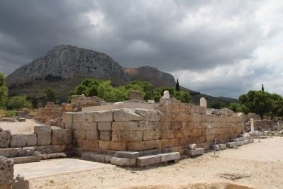
8. The Bema of the Roman Forum
View, from the lower forum level, of the Bema of the Roman Forum, with the Acrocorinth seen directly behind it.
Photographed by Dale K. Benington, June 22, 2015
9. The Bema of the Roman Forum
View, from the lower forum level, of the Bema of the Roman Forum.
Credits. This page was last revised on March 22, 2022. It was originally submitted on July 2, 2015, by Dale K. Benington of Toledo, Ohio. This page has been viewed 7,602 times since then and 524 times this year. Photos: 1, 2, 3, 4, 5, 6, 7, 8, 9. submitted on July 3, 2015, by Dale K. Benington of Toledo, Ohio.
