First Ward in Buffalo in Erie County, New York — The American Northeast (Mid-Atlantic)
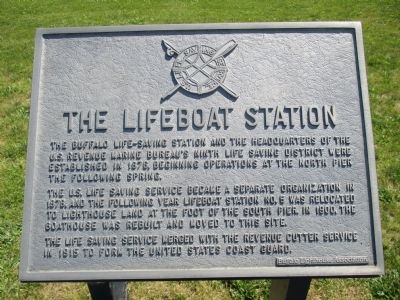
The Lifeboat Station
The U.S. Life Saving Service became a separate organization in 1878, and the following year Lifeboat Station No. 5 was relocated to lighthouse land at the foot of the south pier. In 1900, the boathouse was rebuilt and moved to this site.
The Lafe Saving Service merged with the Revenue Cutter Service in 1915 to form the United States Coast Guard.
Erected by Buffalo Lighthouse Association.
Topics and series. This historical marker is listed in this topic list: Charity & Public Work. In addition, it is included in the Lighthouses series list. A significant historical year for this entry is 1876.
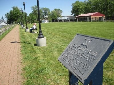
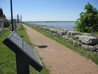
Location. 42° 52.659′ N, 78° 53.189′ W. Marker is in Buffalo, New York, in Erie County. It is in the First Ward. Marker can be reached from Fuhrmann Boulevard, 1.3 miles north of The Skyway (New York State Route 5). Marker is along the Coast Guard gated walkway, open 10A to sunset. The walkway begins at the north end of Fuhrmann Boulevard. Touch for map. Marker is at or near this postal address: 1 Fuhrman Boulevard, Buffalo NY 14203, United States of America. Touch for directions.
Other nearby markers. At least 8 other markers are within walking distance of this marker. The Coast Guard (within shouting distance of this marker); The Lighthouse Service (within shouting distance of this marker); The South Pier (about 300 feet away, measured in a direct line); Penobscot-Morania Collision (about 400 feet away); International Shipmasters' Association (about 500 feet away); Lighthouse Point Park (about 700 feet away); The 1833 Buffalo Lighthouse (about 700 feet away); Buffalo Harbor (approx. 0.2 miles away). Touch for a list and map of all markers in Buffalo.
Credits. This page was last revised on February 16, 2023. It was originally submitted on July 4, 2015, by Anton Schwarzmueller of Wilson, New York. This page has been viewed 328 times since then and 25 times this year. Photos: 1, 2, 3. submitted on July 4, 2015, by Anton Schwarzmueller of Wilson, New York.


