Port Allen in West Baton Rouge Parish, Louisiana — The American South (West South Central)
James "Slim Harpo" Moore
September 18, 2014
1. James "Slim Harpo" Moore Marker
Inscription.
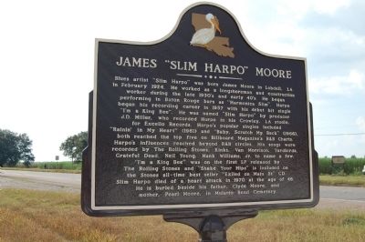
Blues artist "Slim Harpo" was born James Moore in Lobdell, LA in February 1924. He worked as a longshoreman and construction worker during the late 1930's and early 40's. He began performing in Baton Rouge bars as "Harmonica Slim". Harpo began his recording career in 1957 with his debut hit single "I'm a King Bee". He was named Slim Harpo by producer J.D. Miller, who recorded Harpo in his Crowley, LA studio for Excello Records. Harpo's popular singles included "Rainin' In My Heart" (1961), and "Baby Scratch My Back" (1966), both reached the top five on Billboard Magazine's R&B Charts. Harpo's influences reached beyond R&B circles. His songs were recorded by The Rolling Stones, Kinks, Van Morrison, Yardbirds, Grateful Dead, Neil Young, Hank Williams, Jr. to name a few. "I'm A King Bee" was on the first LP released by The Rolling Stones and "Shake Your Hips" is included on the Stones all-time best seller "Exile On Main St" CD. Slim Harpo died of a heart attack in 1970 at age 46. He is buried beside his father Clyde Moore and mother Pearl Moore in Mulatto Bend Cemetery.
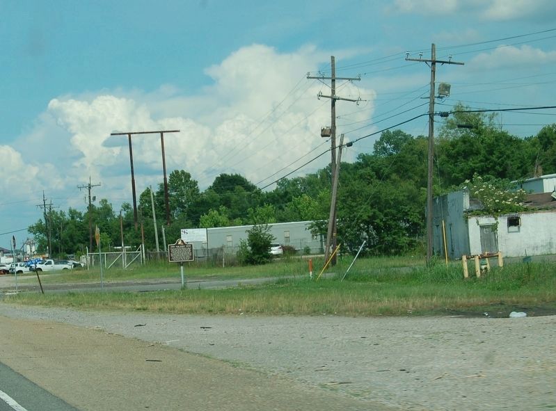
Location. 30° 30.279′ N, 91° 13.695′ W. Marker is in Port Allen, Louisiana, in West Baton Rouge Parish. It is at the intersection of Ronald Reagan Highway (U.S. 190) and South Mulatto Bend Road, on the right when traveling east on Ronald Reagan Highway. Touch for map. Marker is in this post office area: Port Allen LA 70767, United States of America. Touch for directions.
Regionally, this marker is in one of Louisiana’s River Parishes, in Acadiana — Cajun Country, and in Greater Baton Rouge. It is also in the American South, specifically in the Deep South, and in the Great River Road Region. Globally, it is in North America, a Gulf of Mexico state, the Western Hemisphere, the Western World, and the Anglosphere. Historically, it finds itself in what was once New Spain, the territory of the Mississippian Culture, the Louisiana Purchase, one of the Confederate States of America, and the Antebellum South.
Other nearby markers. At least 8 other markers are within 3 miles of this marker, measured
Credits. This page was last revised on May 21, 2018. It was originally submitted on July 5, 2015. This page has been viewed 870 times since then and 41 times this year. Photos:1. submitted on July 5, 2015. 2. submitted on May 21, 2018. • Bernard Fisher was the editor who published this page.