St. James in St. James Parish, Louisiana — The American South (West South Central)
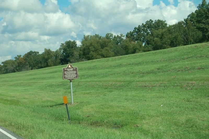
The Settlement Of Freetown

Photographed by Cajun Scrambler, September 26, 2014
1. The Settlement Of Freetown Marker
Following the Civil War, thirty-one individuals bought lots from C. Oliver, who acquired portions of land that was formerly a part of the Pedesclaux-Landry Plantation in St. James, LA. Together, the group carved out and cultivated the land and established the parish’s first multi-ethnic settlement of property owners. Master carpenter Elfere Mitchell built Freetown Hall in the early 1900s.
The pioneering settlers and landowners were: J.C. Oliver, Celéstin Oliver, Jean-Baptiste Louis, Onzimé Louis, John León Louis, Jean Louis Jr., Joachim Paul, Victorin Moris, Narcisse Gibson, Édmond Johnson, Félix Moris, Ben Benjamin, Ursin Toussaint, Philippé Simms, Lindor Louis, Aaron Éllison, Sally Johnson, Mack Nelson, William Jackson, Alec Smith, Trazimon Communi, James Clay, Jean-Baptiste Phillippé, Joséph Scott, Constantin Boyd, Victor Jacob, Moses Lane, Paul Daniel, Théoville Pierre, Louis Joséph, and Samuel Brown.
Erected by Freetown's Family and Friends.
Topics. This historical marker is listed in these topic lists: African Americans • Settlements & Settlers • War, US Civil.
Location. 30° 2.611′ N,
this page online

Regionally, this marker is in one of the River Parishes and in Greater New Orleans. It is also in the American South, specifically in the Deep South, on the Gulf Coast, and in the Great River Road Region. Globally, it is in North America, a Gulf of Mexico state, the Western Hemisphere, the Western World, and the Anglosphere. Historically, it finds itself in what was once New Spain, the territory of the Mississippian Culture, the Louisiana Purchase, one of the Confederate States of America, and the Antebellum South.
Other nearby markers. At least 8 other markers are within 4 miles of this marker, measured as the crow flies: Malarcher House (approx. 0.8 miles away); Uncle Sam Plantation (approx. one mile away); St. Jacques de Cabahanoce (approx. 1.9 miles
Photographed by Cajun Scrambler, September 21, 2018
2. The Settlement Of Freetown Marker
Additional commentary.
1. My Grandmother
My grandmother, Lillian Joseph Bennett Mitchell, lived at the turn around. Her store was a "Beer Garden". She had one daughter, Shirley Bennett Eagan Lewis. Shirley had 5 children. As of today 3 living children. Note To Editor only visible by Contributor and editor
— Submitted August 20, 2019, by Mylah E Deliford of Baton Rouge, Louisiana.
Credits. This page was last revised on November 14, 2024. It was originally submitted on July 5, 2015. This page has been viewed 2,446 times since then and 181 times this year. Photos: 1. submitted on July 5, 2015. 2. submitted on September 22, 2018. • Bernard Fisher was the editor who published this page.
