Scotlandville in Baton Rouge in East Baton Rouge Parish, Louisiana — The American South (West South Central)
Scott's Bluff
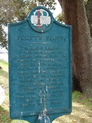
Photographed by Cajun Scrambler, February 5, 2010
1. Scott's Bluff Marker
Topics. This historical marker is listed in this topic list: Government & Politics. A significant historical year for this entry is 1839.
Location. 30° 31.282′ N, 91° 11.837′ W. Marker is in Baton Rouge, Louisiana, in East Baton Rouge Parish. It is in Scotlandville. It is at the intersection of Leon Netterville Drive and James J Prestage Street, on the right when traveling south on Leon Netterville Drive. On the Campus of Southern University. Touch for map. Marker is in this post office area: Baton Rouge LA 70807, United States of America. Touch for directions.

Regionally, this marker is in Louisiana’s Florida Parishes. It is also in the American South, specifically in the Deep South, and in the Great River Road Region. Globally, it is in North America,
this page online
Other nearby markers. At least 8 other markers are within walking distance of this marker: Mississippi River (here, next to this marker); Southern University (within shouting distance of this marker); Pinckney Benton Stewart Pinchback (about 300 feet away, measured in a direct line); Dr. Julia Brogdon Purnell (about 300 feet away); Lou Brock (approx. half a mile away); AW "Ace" Mumford (approx. half a mile away); Avery Johnson (approx. half a mile away); Rodney Milburn (approx. half a mile away). Touch for a list and map of all markers in Baton Rouge.
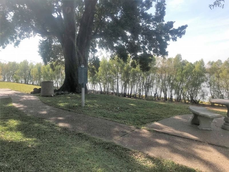
Photographed by Cajun Scrambler, December 16, 2017
2. Scott's Bluff Marker
Credits. This page was last revised on August 11, 2023. It was originally submitted on July 5, 2015. This page has been viewed 2,918 times since then and 224 times this year. Photos: 1. submitted on July 5, 2015. 2. submitted on December 17, 2017. • Bernard Fisher was the editor who published this page.
