Near Walker in Livingston Parish, Louisiana — The American South (West South Central)
Salem Baptist Church
Photographed by Cajun Scrambler, March 22, 2019
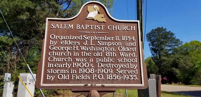
1. Salem Baptist Church Marker
Erected 1975 by Livingston Parish Police Jury.
Topics. This historical marker is listed in this topic list: Religion & Religious Structures. A significant historical date for this entry is September 11, 1559.
Location. 30° 37.666′ N, 90° 50.801′ W. Marker is near Walker, Louisiana, in Livingston Parish. It is on Weiss Road (State Highway 63) 0.7 miles east of Walker Road North (State Highway 447), on the left when traveling east. Touch for map. Marker is at or near this postal address: 36474 Weiss Rd, Walker LA 70785, United States of America. Touch for directions.

Regionally, this marker is in Louisiana’s Florida Parishes, in Greater Baton Rouge, and in Greater New Orleans. It is also in the American South, specifically in the Deep South, and on the Gulf Coast. Globally, it is in North America, a Gulf of Mexico state, the Western Hemisphere, the Western World, and the Anglosphere. Historically,
this page online
Other nearby markers. At least 8 other markers are within 11 miles of this marker, measured as the crow flies: Watson (approx. 7.3 miles away); Indians Along Amite River (approx. 7.9 miles away); Macedonia Baptist Church (approx. 8 miles away); Pride High School (approx. 9.2 miles away); Greenwell Springs (approx. 9½ miles away); Osgood Corner (approx. 9½ miles away); Walker, Louisiana (approx. 9.7 miles away); McDonnel Douglas F-4 Phantom (approx. 11 miles away).
Photographed by Cajun Scrambler, March 22, 2019
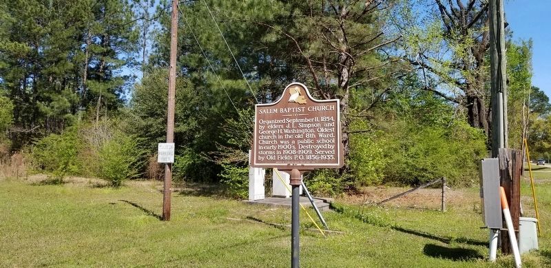
2. Salem Baptist Church Marker
March 22, 2019
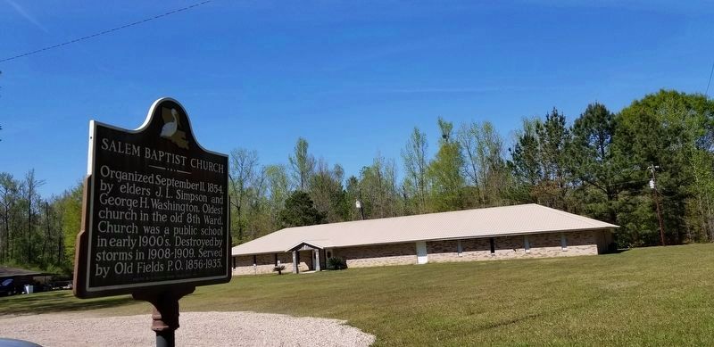
3. Salem Baptist Church and Marker
June 25, 2010
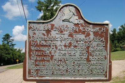
4. Salem Baptist Church Marker
Old photo of marker -
Credits. This page was last revised on February 23, 2024. It was originally submitted on July 5, 2015. This page has been viewed 1,079 times since then and 61 times this year. Photos: 1, 2, 3. submitted on March 23, 2019. 4. submitted on July 5, 2015. • Bernard Fisher was the editor who published this page.
