Patterson in St. Mary Parish, Louisiana — The American South (West South Central)
Williams Memorial Airport
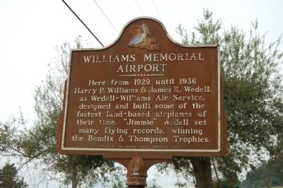
Photographed by Cajun Scrambler, November 21, 2009
1. Williams Memorial Airport Marker
Erected 1969 by Louisiana Tourist Commission.
Topics. This historical marker is listed in this topic list: Air & Space. A significant historical year for this entry is 1929.
Location. 29° 42.849′ N, 91° 20.343′ W. Marker is in Patterson, Louisiana, in St. Mary Parish. It is at the intersection of State Highway 182 and Airport Circle, on the left when traveling south on State Highway 182. Touch for map. Marker is in this post office area: Patterson LA 70392, United States of America. Touch for directions.

Regionally, this marker is in one of Louisiana’s River Parishes, in Acadiana — Cajun Country, and specifically in Bayou Country. It is also in the American South, specifically in the Deep South, on the Gulf Coast, and in the Great River Road Region. Globally, it is in North America, a Gulf of Mexico state, the Western Hemisphere, the Western World, and
this page online
Other nearby markers. At least 8 other markers are within 8 miles of this marker, measured as the crow flies: Battle Of Bisland (approx. 2.1 miles away); Welcome to Patterson (approx. 2.6 miles away); Big - Fast - Deadly (approx. 3.7 miles away); Cypress Swamps (approx. 3.7 miles away); Welcome to Centerville (approx. 5.7 miles away); Bayou Teche (approx. 7.1 miles away); a different marker also named Bayou Teche (approx. 7.1 miles away); Swamps on the Cusp of Change (approx. 7.2 miles away). Touch for a list and map of all markers in Patterson.
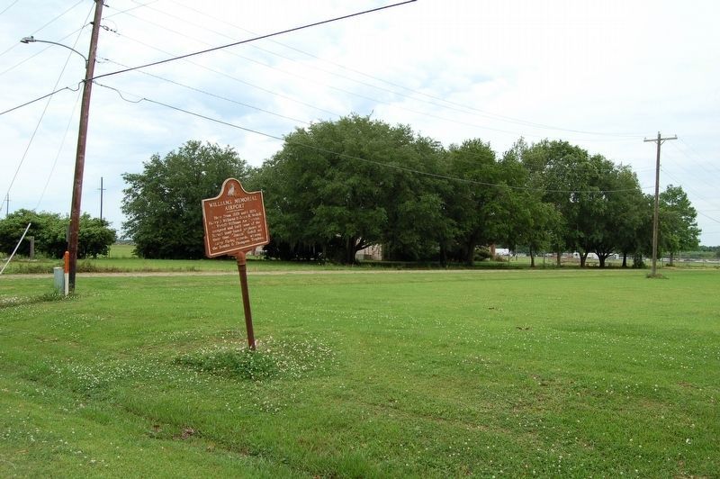
Photographed by Cajun Scrambler, May 9, 2019
2. Williams Memorial Airport Marker
Credits. This page was last revised on November 2, 2025. It was originally submitted on July 5, 2015. This page has been viewed 464 times since then and 47 times this year. Photos: 1. submitted on July 5, 2015. 2. submitted on May 10, 2019. • Bernard Fisher was the editor who published this page.
