Near Pollock Pines in El Dorado County, California — The American West (Pacific Coastal)
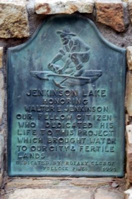
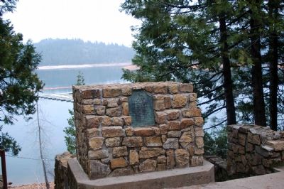
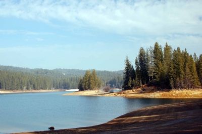
Jenkinson Lake
Erected 1990 by Rotary Club of Pollock Pines.
Topics and series. This historical marker is listed in this topic list: Waterways & Vessels. In addition, it is included in the Rotary International series list. A significant historical year for this entry is 1990.
Location. 38° 43.113′ N, 120° 34.283′ W. Marker is near Pollock Pines, California, in El Dorado County. Marker is on Mormon Emigrant Trail east of Sly Park Road (County Route E16), on the right when traveling east. Touch for map. Marker is in this post office area: Pollock Pines CA 95726, United States of America. Touch for directions.
Other nearby markers. At least 5 other markers are within 3 miles of this marker, measured as the crow flies. Carson Trail - To Pleasant Valley (approx. 1˝ miles away); Carson Trail - Junction (approx. 2.8 miles away); Cutoff to Johnson Ranch and Placerville (approx. 2.8 miles away); Johnson Cutoff Trail - Sportsman Hall (approx. 3.1 miles away); Sportsman’s Hall (approx. 3.1 miles away). Touch for a list and map of all markers in Pollock Pines.
Credits. This page was last revised on August 17, 2020. It was originally submitted on February 8, 2007, by Karen Key of Sacramento, California. This page has been viewed 4,083 times since then and 25 times this year. Photos: 1, 2, 3. submitted on February 8, 2007, by Karen Key of Sacramento, California. • J. J. Prats was the editor who published this page.


