Lanesborough in Berkshire County, Massachusetts — The American Northeast (New England)
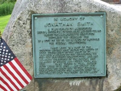
In Memory of Jonathan Smith
A plain farmer of Lanesborough who by a speech full of good sense and good feeling carried the Massachusetts Convention September 1787 – February 1788 by a vote of 187 to 168 in favor of ratifying the Federal Constitution
“ . . . . . I have lived in a part of the country where I have known the worth of good government by the want of it . . . . . I had been a member of the convention to form our own state constitution, and had learned something of the checks and balances of power; and I found them all here. . . . . Take things in time, gather fruit when it is ripe. . . . . We sowed our seed when we sent men to the federal convention, now is the harvest; now is the time to reap the fruit of our labor”
Topics. This historical marker is listed in this topic list: Government & Politics. A significant historical year for this entry is 1787.
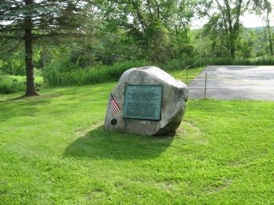
Location. 42° 31.196′ N, 73° 13.689′ W. Marker is in Lanesborough, Massachusetts, in Berkshire County. Marker is at the intersection of North Main Street (U.S. 7) and Bridge Street, on the left when traveling north on North Main Street. Located next to Lanesborough Town Hall. Touch for map. Marker is in this post office area: Lanesboro MA 01237, United States of America. Touch for directions.
Other nearby markers. At least 8 other markers are within 5 miles of this marker, measured as the crow flies. Lanesborough Remembers (within shouting distance of this marker); The First and Second Meeting Houses of Lanesborough (about 400 feet away, measured in a direct line); Daniel H. Petithory (approx. 1.8 miles away); The Rockwell Road To Greylock (approx. 2 miles away); Welcome to Mount Greylock State Reservation (approx. 2˝ miles away); Ashuwillticook Rail Trail (approx. 3.6 miles away); Coltsville Honor Roll (approx. 3.9 miles away); Main Street Cemetery (approx. 4.2 miles away). Touch for a list and map of all markers in Lanesborough.
Credits. This page was last revised on September 30, 2020. It was originally submitted on July 8, 2015, by Michael Herrick of Southbury, Connecticut. This page has been viewed 587 times since then and 14 times this year. Photos: 1, 2. submitted on July 8, 2015, by Michael Herrick of Southbury, Connecticut.

