Prairieville in Ascension Parish, Louisiana — The American South (West South Central)
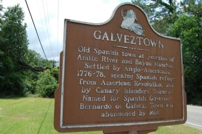
Galveztown
Erected 1962 by Department of Commerce and Industry.
Topics. This historical marker is listed in these topic lists: Settlements & Settlers • War, US Revolutionary. A significant historical year for this entry is 1810.
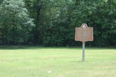
Location. 30° 20.516′ N, 90° 53.336′ W. Marker is in Prairieville, Louisiana, in Ascension Parish. Marker is at the intersection of OakGrove-Port Vincent Highway (State Highway 42) and Diez Road, on the right when traveling east on OakGrove-Port Vincent Highway. Touch for map. Marker is in this post office area: Prairieville LA 70769, United States of America. Touch for directions.
Other nearby markers. At least 8 other markers are within 7 miles of this marker, measured as the crow flies. Port Vincent (approx. 2.4 miles away); William Bartram Trail (approx. 2.4 miles away); a different marker also named Port Vincent (approx. 2˝ miles away); The Ascension Parish Negro Fair Association, Inc. / Ascension Parish Negro Fairgrounds (approx. 5.3 miles away); Hebron Baptist Church (approx. 5.4 miles away); Tiger Bend Archaeological Site (approx. 6 miles away); French Settlement (approx. 6.2 miles away); Prairieville Cemetery (approx. 6.2 miles away). Touch for a list and map of all markers in Prairieville.
Credits. This page was last revised on May 30, 2022. It was originally submitted on July 10, 2015. This page has been viewed 1,275 times since then and 141 times this year. Photos: 1, 2, 3. submitted on July 10, 2015. • Bernard Fisher was the editor who published this page.


