Basking Ridge in Somerset County, New Jersey — The American Northeast (Mid-Atlantic)
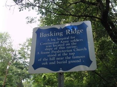
Basking Ridge
Continental Army soldiers
was located on the
slope of this ravine.
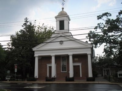
A frame Presbyterian Church
stood at the top
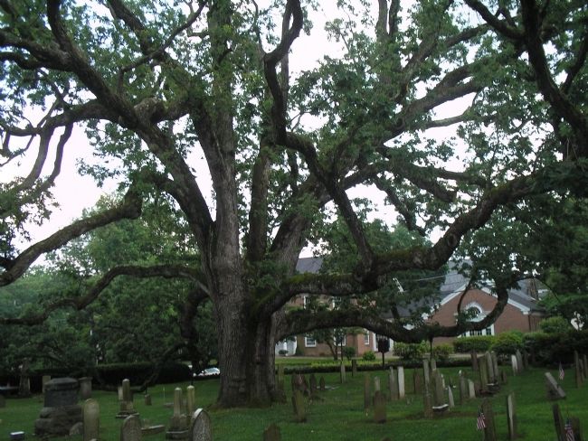
of the hill near the famous
oak and burial ground.
Topics. This historical marker is listed in these topic lists: Cemeteries & Burial Sites • Churches & Religion • Notable Places • War, US Revolutionary.
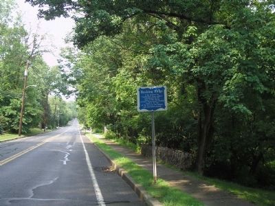
Location. 40° 42.501′ N, 74° 32.854′ W. Marker is in Basking Ridge, New Jersey, in Somerset County. Marker is on N Maple Avenue, on the right when traveling north. Touch for map. Marker is in this post office area: Basking Ridge NJ 07920, United States of America. Touch for directions.
Other nearby markers. At least 8 other markers are within walking distance of this marker. Basking Ridge Presbyterian Church Graveyard (about 700 feet away, measured in a direct line); Early Church (approx. 0.2 miles away); Bernards Township War Memorial (approx. 0.2 miles away); a different marker also named Basking Ridge (approx. 0.2 miles away); The Brick Academy (approx. 0.2 miles away); Southard Park (approx. ¼ mile away); Bernards Township 9-11 Memorial (approx. half a mile away); Site of Widow White’s Tavern (approx. 0.6 miles away). Touch for a list and map of all markers in Basking Ridge.
Also see . . . Basking Ridge, New Jersey . Wikipedia entry (Submitted on December 3, 2021, by Larry Gertner of New York, New York.)
Credits. This page was last revised on December 3, 2021. It was originally submitted on June 24, 2008, by Bill Coughlin of Woodland Park, New Jersey. This page has been viewed 1,455 times since then and 28 times this year. Photos: 1, 2, 3, 4. submitted on June 24, 2008, by Bill Coughlin of Woodland Park, New Jersey.


